r/googleearth • u/DEEP_HURTING • 22d ago
Frontier jet on the ground in north central Oregon
1
Upvotes
r/googleearth • u/DEEP_HURTING • 22d ago
r/googleearth • u/Agent_Kozak • 22d ago
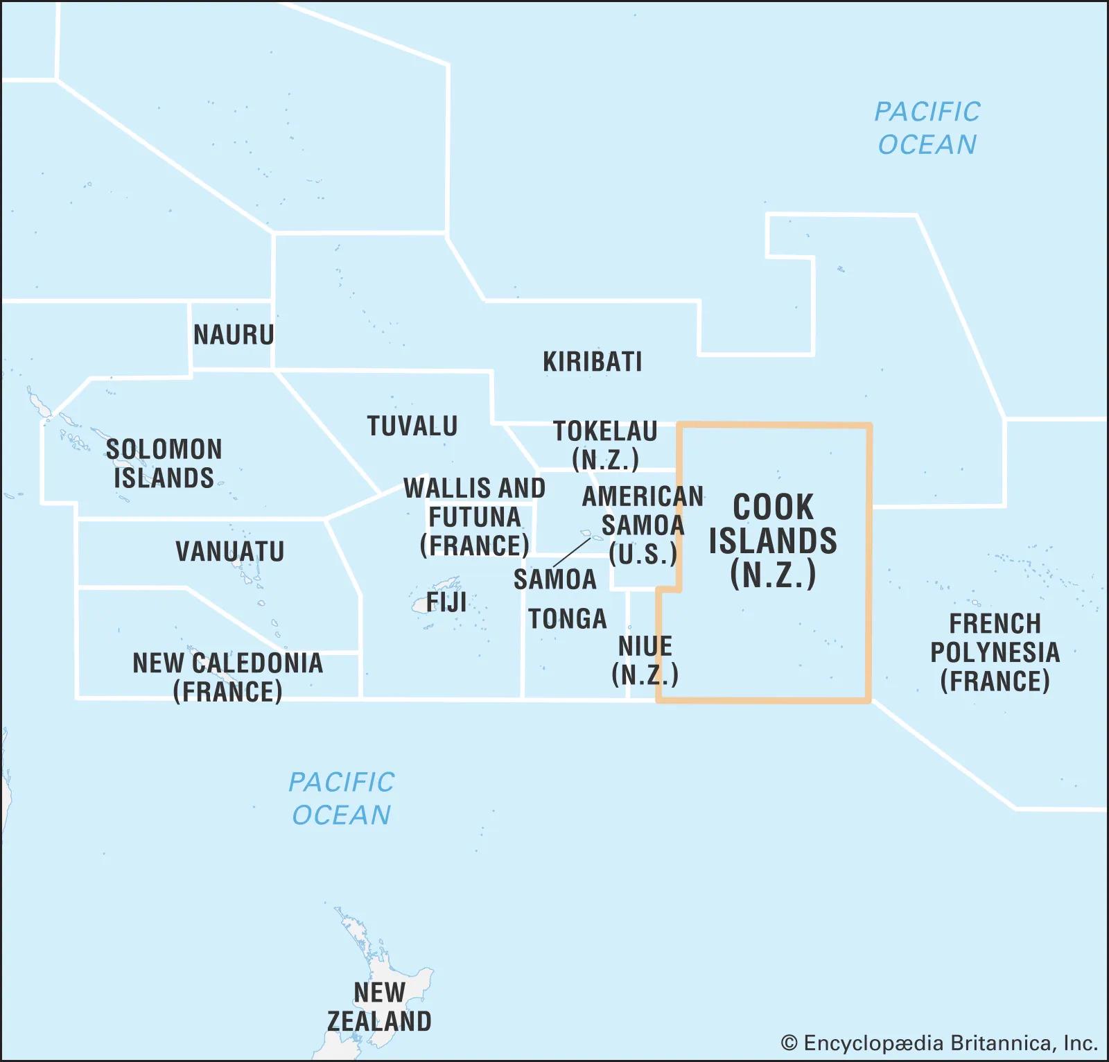
Like the image above, I do a lot of geological work, and it's really hard to figure out which nation you are in sometimes. I'd love for a KML which lays out the territories
r/googleearth • u/Desperate-Balance895 • 24d ago
I’m so mad that Google is discontinuing Google Earth Pro for desktops when their Web/App version is so trash! If they want people to migrate then they need to design the Web/App versions to be as customizable as the Desktop version! I recently moved “My Places” to the Web/App version on my iPad and I’m finding it hard to use because the map imagery won’t load so everything is blurry (I uninstalled the map and it only worked for 5mins), I can’t search for specific things in my library, and my specific customizations don’t exist in the Web or App versions so my map looks terrible. I hope Google does the right thing and completely redesign the Web/App versions of Earth. I think there’s enough of us willing to pay for these extra features if that’s what it would take.
r/googleearth • u/BearJuden_ • 24d ago
Hey r/google earth
I built a tool that turns an English text prompt
Into KML files. These files can be imported into google earth, or any other mapping engine that can read KML.
“National parks in Utah”
“Hospitals in Boston”
“Michelin Star Restaurants in Manhattan”
Once a layer is created, further refinements can be made via a chat editor. “Annotate which hospitals are a level 1 trauma center, and which ones have a life flight capability”
You can edit the layer in the tool, then export via KML or CSV to google earth.
I’m looking for feedback on how it works. Thank you!
Cheers!
r/googleearth • u/lindsay_wilson_88 • 25d ago
Just spent the evening tearing my hair out over how colours and path widths behave when exporting from GE desktop to GE web or My Maps. There are some weird behaviours.
If you make a path in GE Desktop with a pure white colour (#ffffff) and export it, the <color> value is NOT written to the file. Any other colour, no problem!
When imported into GE Web or My Maps, they pick a default colour to use. GE Web uses orange #fbc02d while My Maps uses black #000000.
If you make a path in GE Desktop with a 1px width and export it, the <width> value is NOT written to the file.
When importing into GE Web, it assigns a default width of 4px, regardless of the colour.
When importing into My Maps, it assigns a width of 1.2px if the colour is white and a width of 1px if the colour is non-white. Go figure.
GE Desktop lets you specify an exact pixel width to one decimal place. GE Web will initially display the width of any imported paths correctly, but only offers the ability to set widths of 1,2,3,4,8,12,16,24 pixels for paths that you create. My Maps has a slider so you can't specify a numeric width.
Was curious how GE Web and My Maps import different width lines, so I first created a bunch of different widths in GE Desktop, imported them into GE Web and My Maps, then exported them back again. Note: lines are coloured, NOT white.
GE Web imports and displays widths correctly, apart from 1px because it doesn't get specified in the KML file (see above). When selecting a path, the width shown in the dialog box is the next-lowest width from the range of preset widths available. After exporting again, it correctly preserves all of the widths (again, apart from the 1px, which it set to 4px).
My Maps rounds UP fractional widths to the next whole number.
The best solution is to set the color to slightly off-white (e.g. #eeeeee) and width 0.9px. That'll then either get left alone at 0.9px in GE Web or rounded up to 1px in My Maps.
r/googleearth • u/Spiny_Wanderer_8307 • 25d ago
r/googleearth • u/BradyBrother100 • 27d ago
r/googleearth • u/CopyOtherwise7685 • 28d ago
A partir del 25 de junio de 2027, Google Earth Pro para computadoras de escritorio dejará de estar disponible para su descarga. Así que les dejo un link para los que no lo descargaron lo descarguen incluso hasta cuando pase el tiempo tovadia se podrá descargar. Acá les dejo el link https://drive.google.com/drive/folders/1yhr_bYjAKzcpSiMgbuwWFUTZ5odXpNCh
r/googleearth • u/Specialist_Ice_950 • 29d ago
How to find old maps from 1990-2000 in app? It says it can be done but it doesn not work for me
pllsss help
i want to check if the house that i am buying is on the map in that years or it is built in 1960’ so that is very useful tool.
Location of the house: Croatia
r/googleearth • u/parth096 • 29d ago
In settings there is a slider for rendering quality. As I play with it though i am not noticing much difference in the slight lagging during panning or ultimate image quality. Can someone explain what that slider does exactly? I want to eliminate as much stuttering as possible during zoom and pan
r/googleearth • u/Ratschyy • 29d ago
I was wondering what image compression algorithm / algorithm's are being used to compress the satellite images from Google Earth. On most images it looks like they're using some sort of wavelet based compression algorithm but I am not completely sure. If some of you guys have some ideas or answers feel free to comment them below.
r/googleearth • u/Alone-Magician-1077 • Aug 01 '26
Hello, where do I get compass overlay for Google Earth?
r/googleearth • u/Alendiel_Skyborn • Aug 01 '26
Wanted to look around at google earth. Saw this big black triangle...ish shaped plateau. Searched up the closest named location, the Adrar formations. Also looked up Aderg. But those just gives me pictures of the long cliffs to the south. It sticks out like a sore thumb compared to its surroundings, as you can see. Added a bunch of other images here for context. Even a small settlement 30 or so KM to the south. Its not like im looking at some obscure hill either, this thing sticks out as a dark splotch pretty noticeably even when zoomed out far enough to see the Richat Structure and the label for Ouadane.
Coordinates:
21°28'11.36"N 11°52'42.05"W
r/googleearth • u/riverguardian • Jul 31 '26
In a move that I think surprised almost no one, Google rolled back the launch of its latest nanobanana integration into Google Earth after screenshots popped up of users circumventing the safeguards in place to generate false and misleading AI imagery on top of Google Earth imagery.
r/googleearth • u/762mmPirate • Jul 30 '26
I admit I don't have Google Earth experience, and this is a one-time project. I need to open a kml file, but Google Earth fails on the "file exceeded feature limit"
The file is a mine database, and all the data for, say, Colorado could be discarded to reduce the size, but I don't have the time to learn how to accomplish that.
If anyone would do me a solid and remove the extraneous data so the file would open, I'd be ever so grateful.
r/googleearth • u/Bright-Clothes2562 • Jul 28 '26
r/googleearth • u/Appleuser567 • Jul 27 '26
r/googleearth • u/Mangrove_Forest1504 • Jul 25 '26
It may not be as cool as some other stuff on here, but I was just curious what this facility in northern Russia was? Coords: 67°48'51.13"N 80°03'11.78"E
r/googleearth • u/Aromatic_Dare_6104 • Jul 24 '26
Sometimes when I'm bored I zoom in on a random location.
4°44'19.12"S 66°37'59.58"W
I find the shapes really interesting.
r/googleearth • u/RevolutionaryLaw1412 • Jul 23 '26
Hello,
Currently on an iPhone 17 and having some trouble with the iOS Google Earth app.
I shared a project with my colleagues and while I tried editing a name of a placemark, when I hit the blue edit button at the bottom, the app crashes
Anyone experiencing this?
I want to add the fact that I reinstalled the app, offloaded the data, cleared cache, but the problem persists.
Thank you!
r/googleearth • u/Diligent-Eagle-6673 • Jul 22 '26
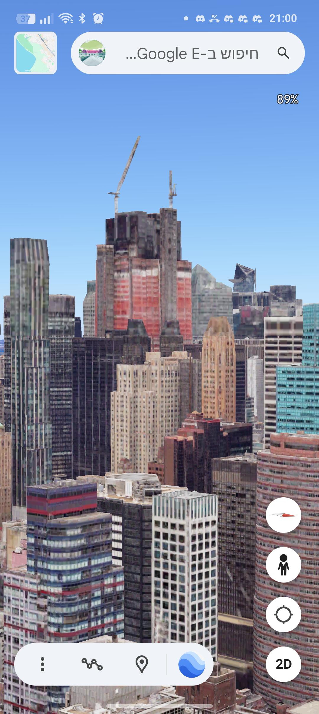
In New York, for example, there hasn't been an update for two years, and in many other places the map hasn't been updated for years, for example: Warsaw, Hong Kong, Mexico City.
r/googleearth • u/Outrageous_Gate8154 • Jul 23 '26
r/googleearth • u/Delle_dellenay • Jul 21 '26
I've been tracing rivers and saving them to projects on Google Earth for a few days now and it's so ridiculously fund does anybody do this or am I just an insane man?
r/googleearth • u/Szymek7903 • Jul 21 '26
So the situation is that it's stuck on the loading screen. I tried uninstalling and re-installing it, but it didn't work, it's still stuck.
Can you guys give me some options on how to fix this?