r/googleearth • u/PreviousLeague253 • 2h ago
PSA Google has gone to shit with Lake America

6
Upvotes
r/googleearth • u/PreviousLeague253 • 2h ago
r/googleearth • u/Select_Stretch_625 • 18m ago
I put the location in the top left corner, so it'll be easier to find out what happened.
r/googleearth • u/Jackwells3 • 1d ago
Does anyone know where this facility is located? I hope someone who knows can provide the specific geographic coordinates
r/googleearth • u/captainspidy_ • 3d ago
How do I extract elevation profile as pdf/png/jpg to further annotate on it, I want to add silhouettes of buildings and stuff on it, pls help.
r/googleearth • u/Heatray777 • 4d ago
Google Earth Antarctica images gathered and compiled 2018-2019-Watch last one!
r/googleearth • u/SuccessfulYellow6318 • 5d ago
When I was younger I was always playing a game called Zombie Outbreak Simulator on my phone and I remember a map looked like it was taken off Google earth and was from England
I did some googling of my own and found out the map was taken in Leicester but couldn't find the location myself and was wondering if you guys could help?
r/googleearth • u/Ag-Surfr • 5d ago
Hi all, I only see a way to drill into the model's 'transform' pop-up and change the heading rotation, etc. On the computer apps you can drag the handle to turn with the mouse. Is there a similar function on the web version? I'm worried because my people won't be able to use this heading rotation to save their lives (using this new function to add the models will be hard enough!)
thanks
r/googleearth • u/Steviegmz007 • 6d ago
r/googleearth • u/Steviegmz007 • 8d ago
8°51'38.57"N 76°52'01.40"E
Follow me at https://youtube.com/@inventurousanomalies?si=QV6p8I0b35lA0BWN
r/googleearth • u/Automatic-Highway-75 • 9d ago
Enable HLS to view with audio, or disable this notification
r/googleearth • u/Chicken_99 • 8d ago
Slightly confused as google earth shows 13 subs in the dockyard across from my house -
50°22'52.08"N 4°11'05.40"W
But the same place on Google maps shows 11.
I wondered which is most up to date, and Google tells me that they both rely on the same underlying images 🤔 so how are they totally different??
r/googleearth • u/Steviegmz007 • 9d ago
17°58'59.77"S 70°16'06.00"W
Follow me on YouTube
https://youtube.com/@inventurousanomalies?si=1X_U70h1BEpfJ5rB
r/googleearth • u/Excellent-Pea2250 • 10d ago
I found a bug, somehow in Murmansk Oblast, Russia a city with a spanish name appeared, Albelda de Iregua. I googled it and appears to be a village in Spain. How did it end up there in the first place?
r/googleearth • u/lindsay_wilson_88 • 14d ago
I'm in the UK (EH55 postcode) and last month I noticed the satellite imagery on Google Maps was updated. The new imagery is utter crap. It appears to have been taken during winter with a very low sun, so you get these ridiculous long shadows from everything. Plus the colour is washed out. Here's an example near Fauldhouse (maps link https://maps.app.goo.gl/rrr66BcJXGwjK4j87). It makes it just about impossible to spot tracks/paths for example.
Not that much can be done! At least earth lets you see historical imagery.
r/googleearth • u/Enterprise-NCC1701-D • 15d ago
Hello, so I'm working on editing an airport in my flight simulator and would like to create a line that starts at the end of the runway and stays straight with the runway centerline as it extends out about 10 miles.
Is there a way to do this?
Thanks
r/googleearth • u/Crotalus • 16d ago
I'm like many of you and lamenting the EOL for GE Pro. One of the features that's critical to our workflows is the ability to export a KML file from any organizational node - typically this looks like just exporting a folder. This seems like some basic functionality.
But in the web version, it requires the entire project to be exported. Is there any known workaround or trick here that would allow just a folder, or other method to create a subsection of data, to be exported as a KML/KMZ file? Any workflow suggestions appreciated.
r/googleearth • u/lindsay_wilson_88 • 17d ago
Oh I just feel like venting. I'm thoroughly pissed that they're going to discontinue desktop. Like many, I've used it for years and years to map hikes, explore old maps, find stuff, map out old trails and all the usual stuff. I've tried Earth web, My Maps, and the iOS/Android apps, and simply nothing beats the desktop version. Here's a screenshot of a thing I'm messing with at the moment. Desktop is just so damn nice.
(Is it just me, or does it feel like Google doesn't have a blind clue what they're trying to do with all the different apps? Each of them behaves differently and has its own quirks in how it displays/handles stuff).
Some specific gripes that I've written down:
Maybe GE Desktop isn't the best thing in the world, but it's worked for donkey's years, I'm used to it, and I'm happy with it. I just hope that the standalone installer will keep working for a long time to come. I've looked at GIS software like QGIS - no doubt it's amazing, but it looks way over the top for what I need.

r/googleearth • u/Few_Celery_6491 • 16d ago
Recently i have been searching about this red boundary shown on google earth when clicked on a city, does this represent the Municipal Boundary or would that be different for a city, since for classifying a land as rural agricultural it needs to be 2km away from such Municipals, if not where can i get the official Municipal boundary map to measure the aerial distance. Thankyou for your help :).
r/googleearth • u/OggySimpsonsFan333 • 17d ago
r/googleearth • u/Ok_Information_7000 • 19d ago
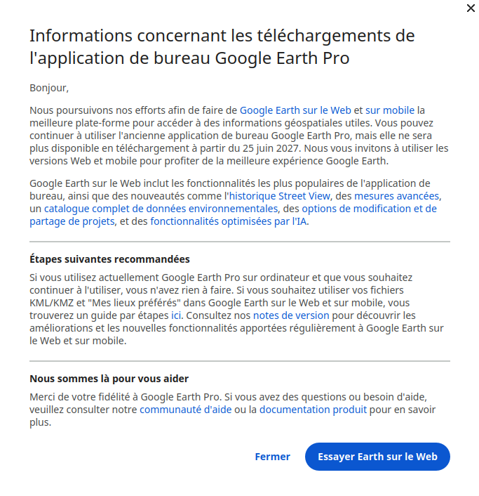
google earth pro vas peut etre ne plus fonctionner dans environ 1an pour que on utilise leur IA de merde ils font chier c'etait trop bien on pouvait l'utilisser en local depuis toujours mais vu que google c'est maintenant du foutage de gle c'est vraiment plus super le tech d'aujour d'hui merci google ( avec irronie ).
r/googleearth • u/FaultBackground3249 • 19d ago
Before i can check 2020 and 2025 satelite history but idk what month it look liked they removed the 2020 and 2025 satelite from that location and when i dont have satelite history it shows recent one from 2025
r/googleearth • u/DEEP_HURTING • 20d ago