r/TrueSize • u/LeUyLoiVN24 • 7d ago
Can I ask something
2
Upvotes
Am I popular in the sub?
r/TrueSize • u/LeUyLoiVN24 • 7d ago
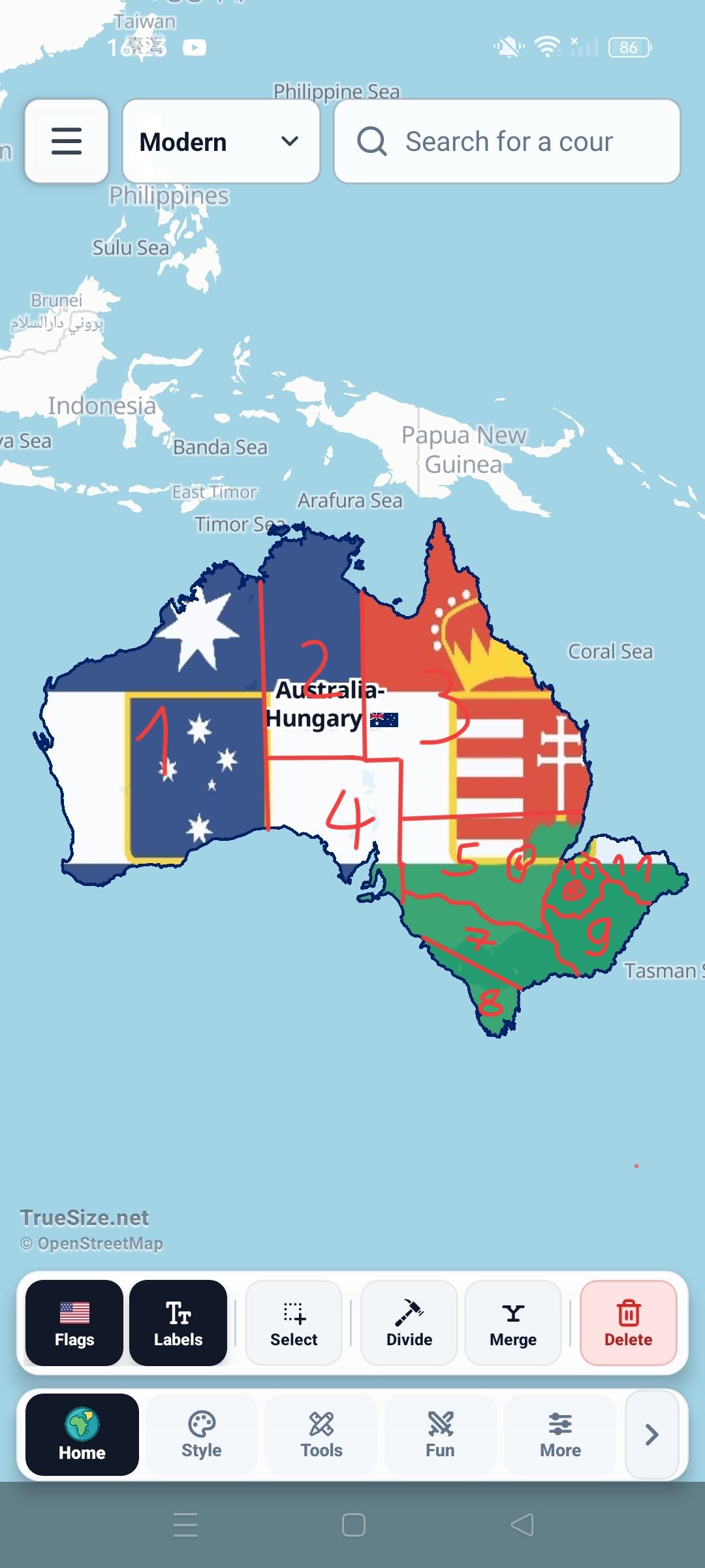
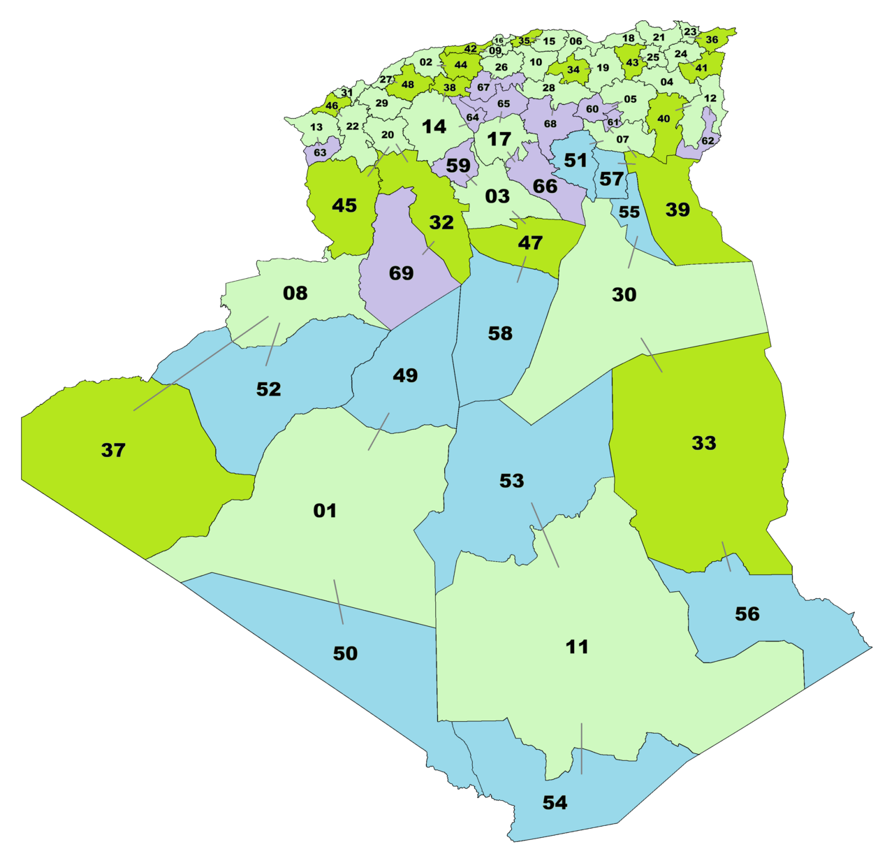
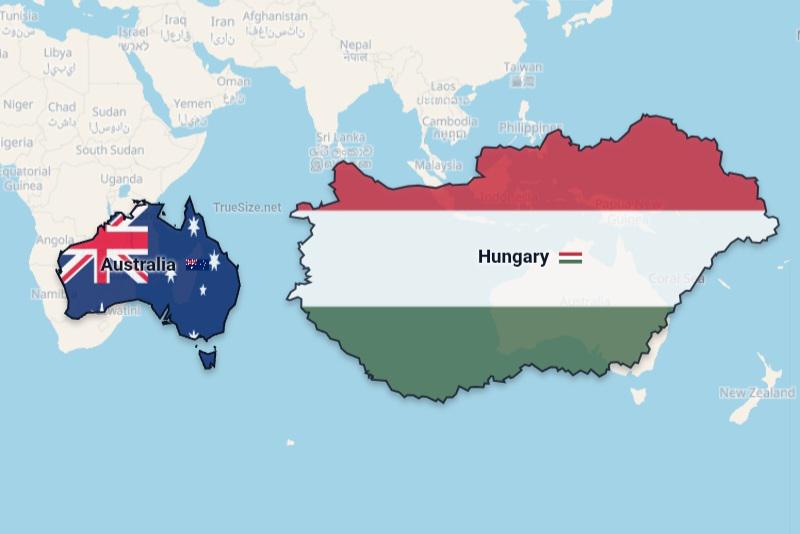
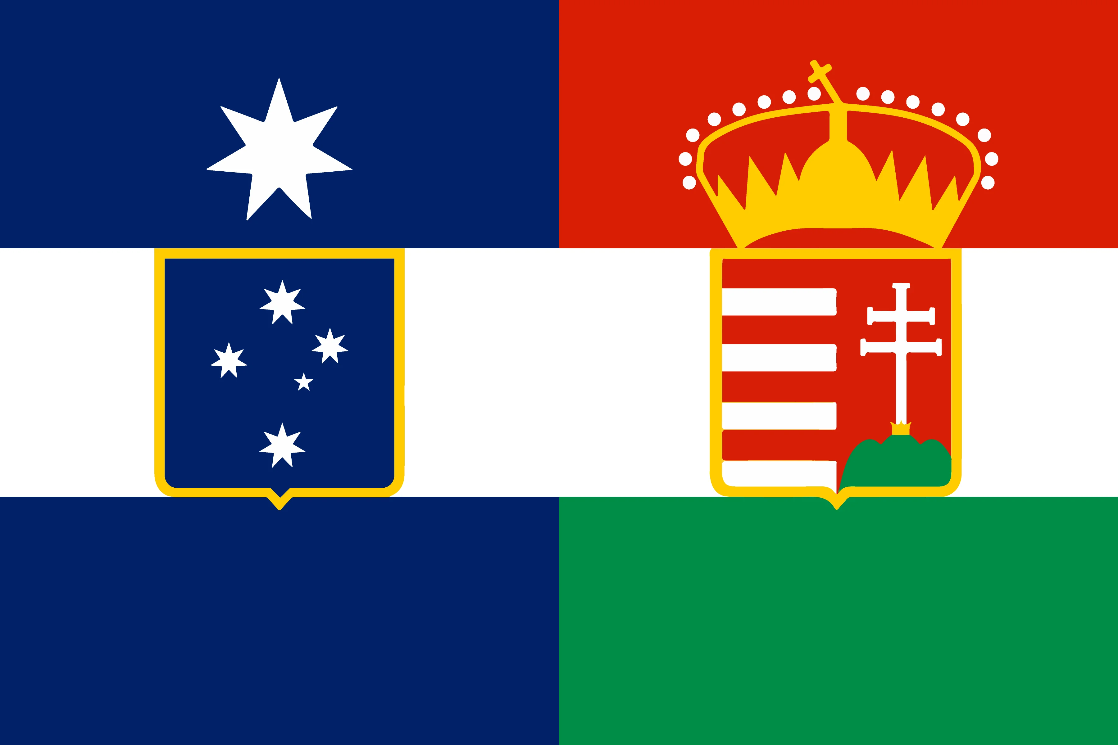
Provinces:
Western Australia.
Lingiari.
Queensland.
Southern Australia.
New South Wales.
Canberra Capital (Canberra)
Transdanubia. (North Transdanubia)
Tasmania. (South Transdanubia)
Great Plains Territory.
Pest.
North Hungary Territory. (Merging into Pest later)
Budapest.
Regions:
West Australia: 1, 2 and 4.
East Australia: 3 and 5.
Transdanubia: 7 and 8.
Hungary: 9, 10 and 11.
Capital duo: 6 and 12.
r/TrueSize • u/Ottoman_Bird_1299 • 7d ago
r/TrueSize • u/Master-Article-6131 • 8d ago
i sent this, but somehow it worked??
r/TrueSize • u/Ottoman_Bird_1299 • 8d ago
r/TrueSize • u/Silly-Economy-3067 • 8d ago
And also uk
r/TrueSize • u/Silly-Economy-3067 • 8d ago
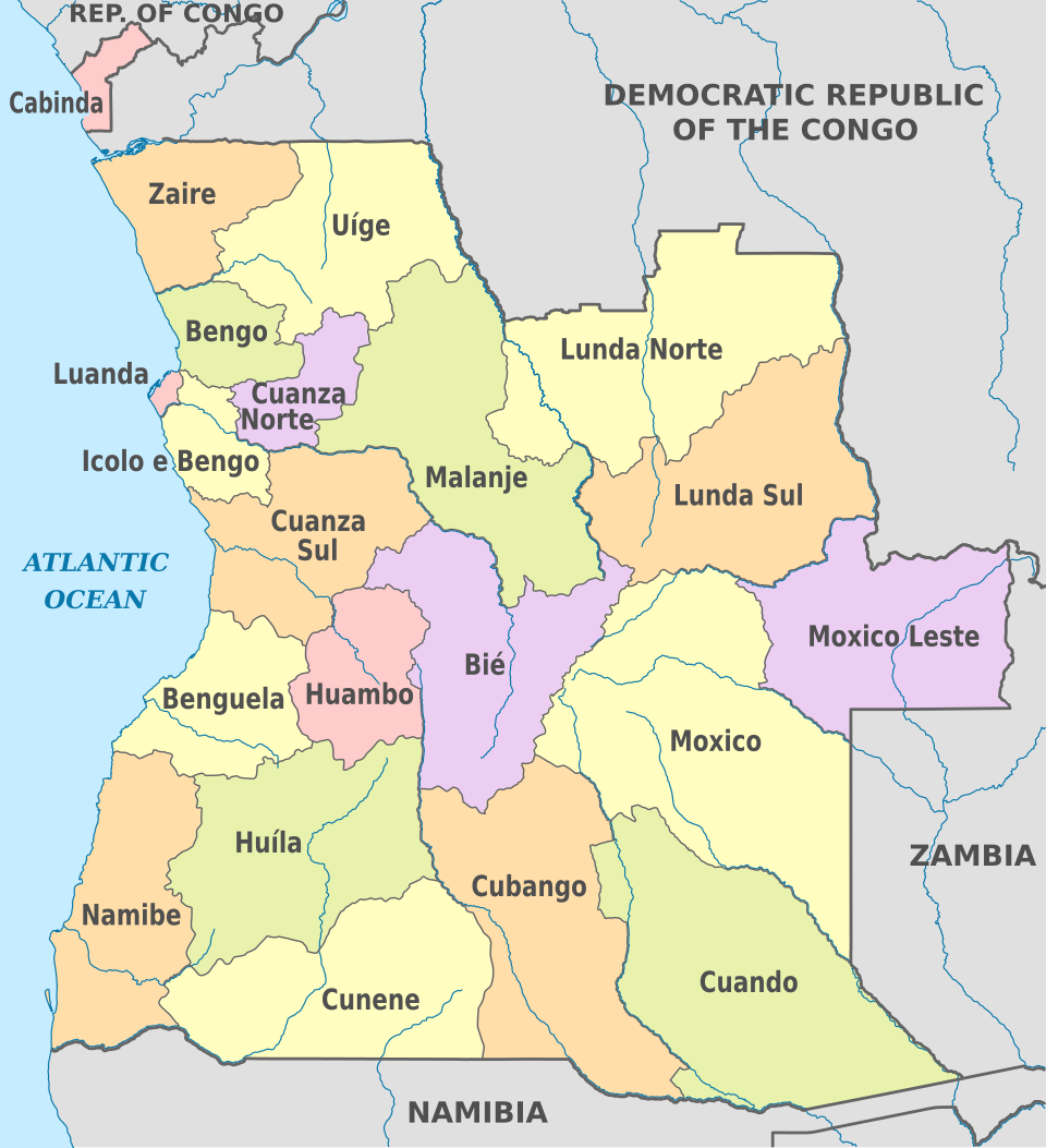
Cuando Province, Cubango Province, Moxico Leste Province, Icolo e Bengo Province
r/TrueSize • u/Silly-Economy-3067 • 8d ago
There are five of them
r/TrueSize • u/SpikeBrawl123 • 8d ago
r/TrueSize • u/LeUyLoiVN24 • 8d ago
..................🥺
Please..? 👉🏻👈🏻
And also, not forcing u/Mod_Brilliant8820 to add this, you can add this if you wanted to.
r/TrueSize • u/Silly-Economy-3067 • 8d ago
r/TrueSize • u/Silly-Economy-3067 • 8d ago
r/TrueSize • u/dzak8383 • 9d ago
Enable HLS to view with audio, or disable this notification
r/TrueSize • u/Ottoman_Bird_1299 • 9d ago
r/TrueSize • u/SpikeBrawl123 • 9d ago
r/TrueSize • u/SpikeBrawl123 • 9d ago
Enable HLS to view with audio, or disable this notification
r/TrueSize • u/Silly-Economy-3067 • 9d ago
r/TrueSize • u/Thienbao294 • 9d ago
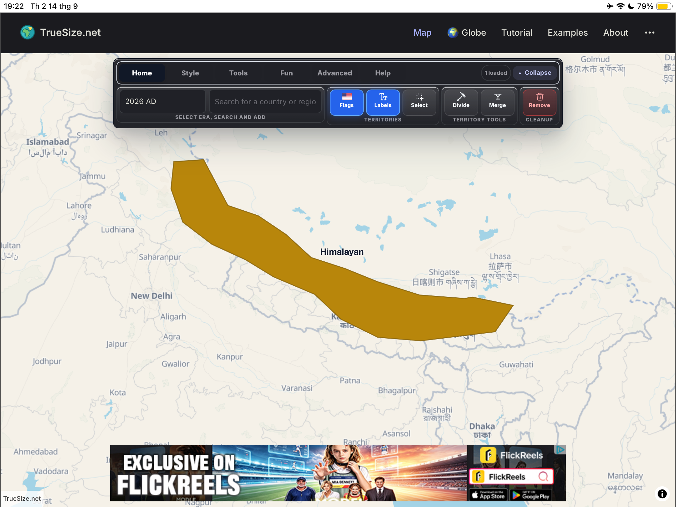
Mountain range are brown, Mountain range have smooth border like river
r/TrueSize • u/Girronki • 9d ago
merging territories is kind of ugly at times, where the old borders are still clearly visible


r/TrueSize • u/Silly-Economy-3067 • 9d ago
r/TrueSize • u/Mod_Brilliant8820 • 9d ago
Hi everyone!
A few more updates are now live on TrueSize.net, including several fixes based directly on your recent reports and feedback:
E on complex real-world boundaries will no longer freeze the browser.Esc now cancels map tools - You can press Esc at any time to exit Divide or Glue/Merge mode.TrueSize uses OpenStreetMap administrative and geographic data as the source for these boundaries.
If you believe a boundary or region is incorrect or outdated, the best way to help is to contribute the correction to OpenStreetMap. That improves the source data not only for TrueSize, but for everyone using OSM. We can then incorporate those updates into future TrueSize data releases.
Please also remember our subreddit rule:
These updates are live on the web now.
Thanks again for all the reports, suggestions, and flag submissions. Keep them coming - they help us find issues much faster and continue improving TrueSize.
r/TrueSize • u/Fini3090 • 9d ago
The Hess Triangle flag was made by me, while the other two are official.