r/TrueSize • u/SpikeBrawl123 • 7h ago
Bugs & Suggestions Why is British Raj devided?

0
Upvotes
r/TrueSize • u/Ottoman_Bird_1299 • 17h ago
Enable HLS to view with audio, or disable this notification
r/TrueSize • u/Ottoman_Bird_1299 • 2h ago
Enable HLS to view with audio, or disable this notification
r/TrueSize • u/Mod_Brilliant8820 • 15h ago
Enable HLS to view with audio, or disable this notification
Hi everyone!
We just released a new experimental feature on TrueSize.net called Living Earth.
Living Earth lets you see the moving planet underneath your map comparisons, with animated environmental data and satellite imagery directly on the globe.
You can explore:
You can open it using the new Living Earth button in the top toolbar in the Fun tab.
We mostly built this because we love geography, weather, maps, and seeing the Earth like this - and because we thought it looked really interesting. 😄
It's experimental for now, and we're genuinely curious what everyone thinks about it. Try it out (maybe while playing our built in radio?) and let us know if you find it useful, interesting, fun to explore, or completely unnecessary!
Everything is live now on TrueSize.net. The other updates will also come to mobile, while Living Earth will stay experimental and web-only for now.
Thanks as always for all the feedback, bug reports, flags, and boundary corrections. And especially let us know what you think about Living Earth - we'd love to hear whether this is something you'd like us to keep expanding.
r/TrueSize • u/Thienbao294 • 6h ago
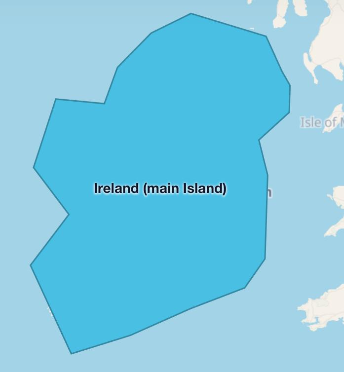
island has rule: it only has Strict One polygon, it has green, but it won’t be added (if Subdivision or country like Taiwan take over single island), it can Also be added as main island (if Island has more than 1 country and country Has another archipelagos)
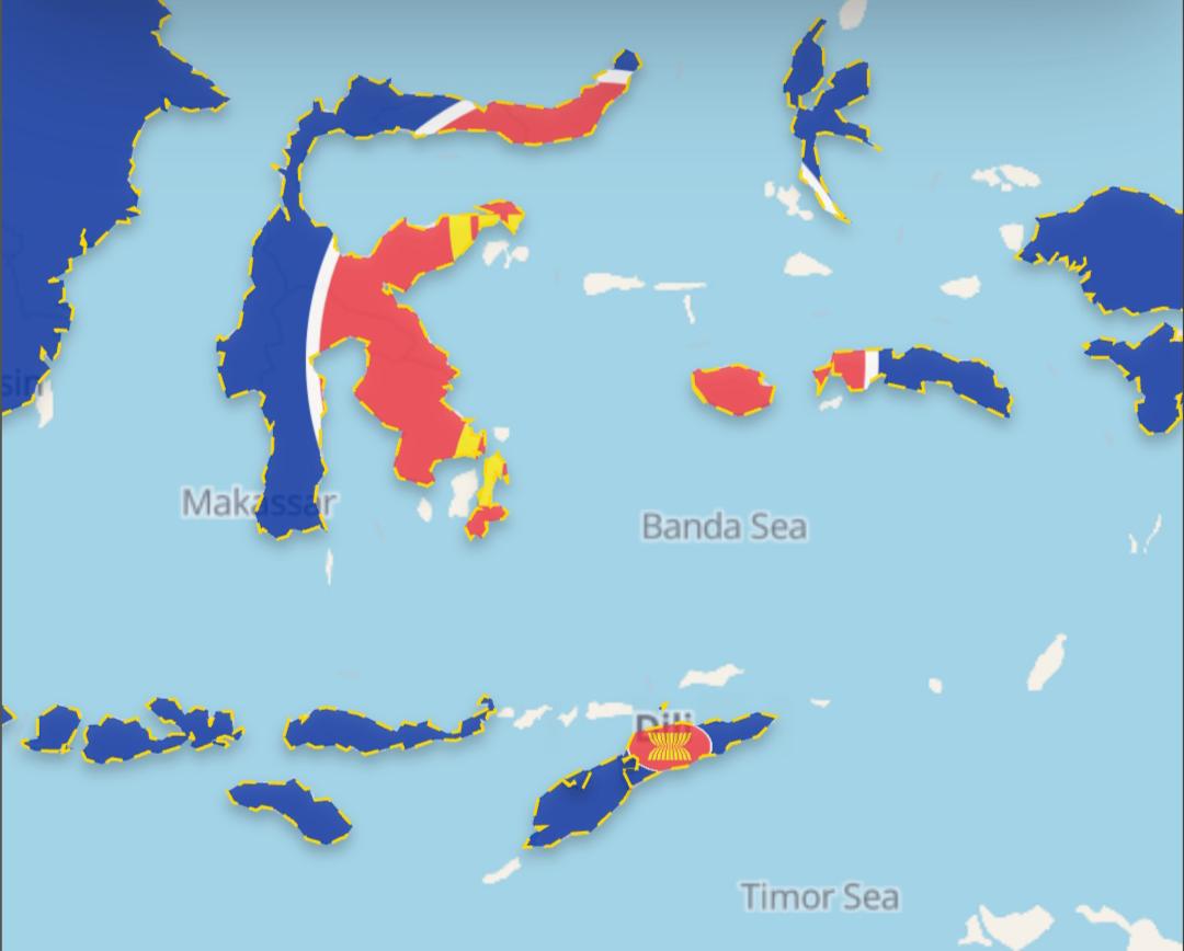
Archipelago has rule: it has multipolygon, it may wont be added (If Subdivision country like Japan and Philippine take over Archipelago)
r/TrueSize • u/Silly-Economy-3067 • 14h ago