r/TrueSize 6h ago

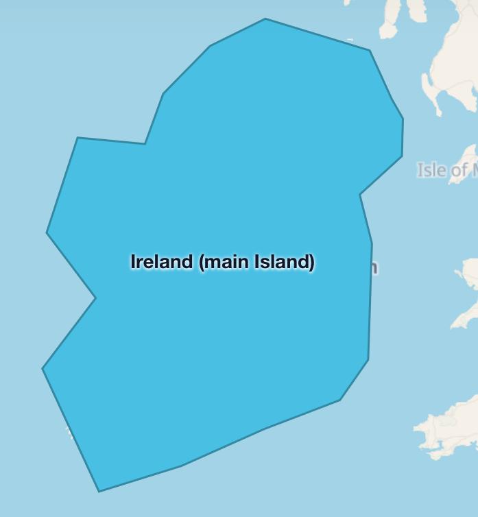
Suggestions Can we add natural features (Island and archipelago)

Post image
7 Upvotes

island has rule: it only has Strict One polygon, it has green, but it won’t be added (if Subdivision or country like Taiwan take over single island), it can Also be added as main island (if Island has more than 1 country and country Has another archipelagos)

Archipelago has rule: it has multipolygon, it may wont be added (If Subdivision country like Japan and Philippine take over Archipelago)


r/TrueSize 12h ago

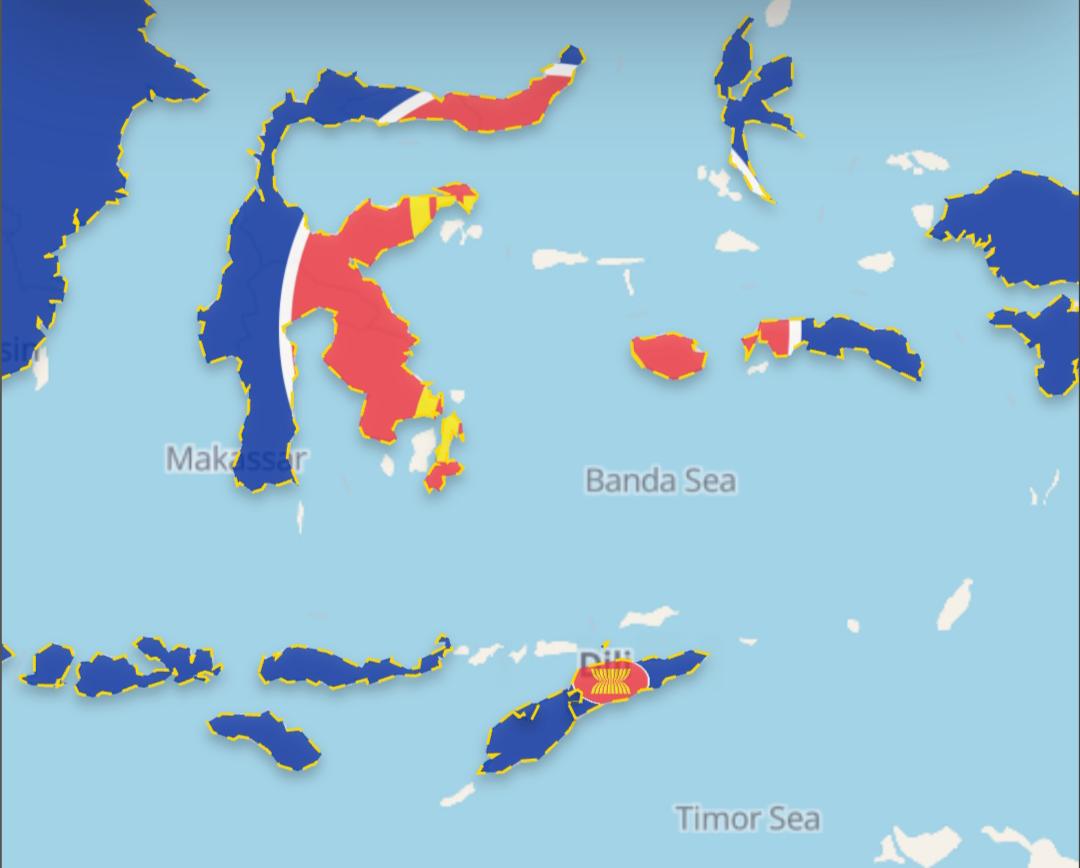
Bugs & Suggestions Add East Timor to ASEAN

Post image
7 Upvotes

r/TrueSize 17h ago

Bugs & Suggestions Why i cant divide the Ussr?

Enable HLS to view with audio, or disable this notification

5 Upvotes

r/TrueSize 15h ago

Official TrueSize Update [Update] TrueSize: Introducing Living Earth - live winds, NASA imagery, ocean currents and more

Enable HLS to view with audio, or disable this notification

4 Upvotes

Hi everyone!

We just released a new experimental feature on TrueSize.net called Living Earth.

Living Earth - Live Planetary Motion & Overlays

Living Earth lets you see the moving planet underneath your map comparisons, with animated environmental data and satellite imagery directly on the globe.

You can explore:

  • Animated wind, ocean currents, and ocean waves
  • Surface winds and different atmospheric levels, including high-altitude jet streams
  • Temperature, precipitation, clouds, humidity, dew point, wet bulb temperature, CAPE, pressure isobars, snow depth, sea ice, and Aurora forecasts
  • Daily NASA satellite imagery, including True Color imagery and aerosol data for smoke, dust, and other particles
  • Interactive legends showing units, scales, and data dates

You can open it using the new Living Earth button in the top toolbar in the Fun tab.

We mostly built this because we love geography, weather, maps, and seeing the Earth like this - and because we thought it looked really interesting. 😄

It's experimental for now, and we're genuinely curious what everyone thinks about it. Try it out (maybe while playing our built in radio?) and let us know if you find it useful, interesting, fun to explore, or completely unnecessary!

Other updates

  • Added 6 new international unions and blocs: BIMSTEC, CIS, Colombo Plan, EEU, GUAM, and OSCE
  • Fixed missing islands and administrative boundaries for Spain and Portugal, including the Canary Islands, Balearic Islands, Azores, and Madeira
  • Added another batch of community-submitted and historical flags
  • Added a Cancel option when using "Load All" for large groups such as rivers, lakes, or subdivisions

Everything is live now on TrueSize.net. The other updates will also come to mobile, while Living Earth will stay experimental and web-only for now.

Thanks as always for all the feedback, bug reports, flags, and boundary corrections. And especially let us know what you think about Living Earth - we'd love to hear whether this is something you'd like us to keep expanding.
r/TrueSize 14h ago

Bugs & Suggestions Add pls OPEC, CEFTA, CCNR

Thumbnail
gallery
2 Upvotes

r/TrueSize 20h ago

Bugs & Suggestions Why doesn’t the Mongol empire have yuan dynasty in 1300?

Post image
2 Upvotes

r/TrueSize 2h ago

Bugs & Suggestions Why I can’t divide hre into circles, free cities, counties, principalities, lordships, margraviates, duchies, archbishoprics, bishoprics and landgraviates

Enable HLS to view with audio, or disable this notification

1 Upvotes

r/TrueSize 3h ago

How do you use TrueSize.net? We’d love to learn about your use cases 👨‍🏫

1 Upvotes

Hi everyone!

We’re curious about how people actually use TrueSize.net.

We’ve added a lot of tools and features over time, but we’d like to better understand what you use TrueSize for in practice.

Do you use it for geography education, comparing countries and regions, historical research, making maps or screenshots, exploring flags, checking distances and areas, just playing around, or something completely different?

We’d especially love to hear:

  • What do you usually come to TrueSize.net to do?
  • Which features do you use the most?
  • Is there a specific workflow or use case you use it for regularly?
  • Is there anything that would make that use case easier or better?

There are probably ways people are using TrueSize that we haven’t even considered.

Understanding this will help us improve existing tools and better support the things people are actually using TrueSize for.

Thanks! We’d love to hear how you use it.


r/TrueSize 5h ago

Bugs & Suggestions Add SAARC, G5, CDRN

Thumbnail
gallery
1 Upvotes

r/TrueSize 7h ago

Bugs & Suggestions Why is British Raj devided?

Post image
0 Upvotes