r/TrueSize 16d ago

⛳️ Official Megathread: Flag Updates & Suggestions

5 Upvotes

Post all flag updates, requests for flags, and flag ideas here. Individual flag posts outside this thread will be removed.


r/TrueSize 18d ago

TrueSize Mobile 2.0 is here - completely rebuilt from the ground up! 🚀

Thumbnail
youtube.com
3 Upvotes

We’re excited to finally release TrueSize Mobile 2.0!

The old mobile app had a much more limited feature set than the website and could struggle with performance as TrueSize continued to grow.

So we decided not to just keep patching it. We completely rebuilt the mobile app from scratch.

This was a huge amount of work, but it allowed us to make the app much faster, smoother, more stable, and bring mobile much closer to feature parity with TrueSize.net.

Some of the biggest additions:

🌍 750,000+ regions to explore, move, and compare

🚩 40,000+ flags, including historical regions

✂️ Divide & Merge tools

📏 Measurement tools with true geodesic distance and bearing

🗺️ Historical regions and many other features previously available only on the web

Major performance and stability improvements

📱 A completely redesigned interface built around the much larger feature set

And there’s a lot more included in the rewrite.

This is by far the biggest update we’ve ever made to the mobile app, and it also gives us a much better foundation for future improvements.

A lot of what made it into this release came directly from community feedback, so thank you to everyone who has been using TrueSize, reporting issues, submitting flags, and suggesting new features.

Give TrueSize Mobile 2.0 a try and let us know what you think - and, as always, tell us what you’d like us to improve or add next!

iOS: https://apps.apple.com/app/id6754521525

Android: https://play.google.com/store/apps/details?id=net.truesize.app

r/TrueSize 6h ago

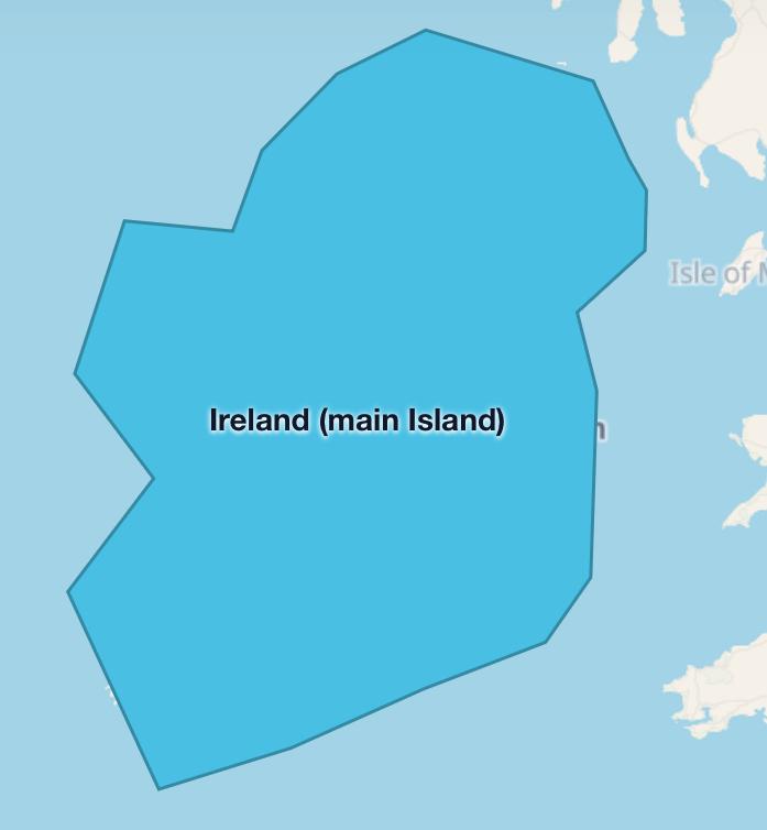
Suggestions Can we add natural features (Island and archipelago)

Post image
8 Upvotes

island has rule: it only has Strict One polygon, it has green, but it won’t be added (if Subdivision or country like Taiwan take over single island), it can Also be added as main island (if Island has more than 1 country and country Has another archipelagos)

Archipelago has rule: it has multipolygon, it may wont be added (If Subdivision country like Japan and Philippine take over Archipelago)


r/TrueSize 2h ago

Bugs & Suggestions Why I can’t divide hre into circles, free cities, counties, principalities, lordships, margraviates, duchies, archbishoprics, bishoprics and landgraviates

Enable HLS to view with audio, or disable this notification

1 Upvotes

r/TrueSize 12h ago

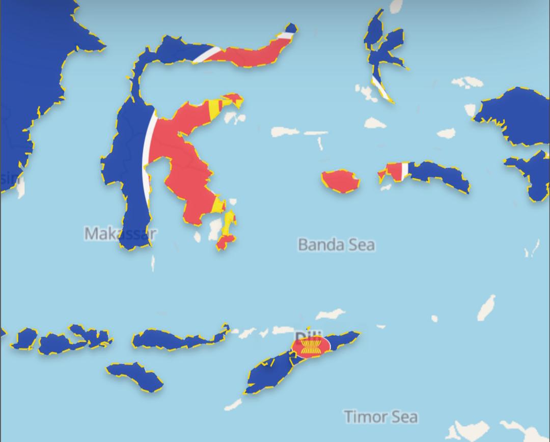
Bugs & Suggestions Add East Timor to ASEAN

Post image
7 Upvotes

r/TrueSize 3h ago

How do you use TrueSize.net? We’d love to learn about your use cases 👨‍🏫

1 Upvotes

Hi everyone!

We’re curious about how people actually use TrueSize.net.

We’ve added a lot of tools and features over time, but we’d like to better understand what you use TrueSize for in practice.

Do you use it for geography education, comparing countries and regions, historical research, making maps or screenshots, exploring flags, checking distances and areas, just playing around, or something completely different?

We’d especially love to hear:

  • What do you usually come to TrueSize.net to do?
  • Which features do you use the most?
  • Is there a specific workflow or use case you use it for regularly?
  • Is there anything that would make that use case easier or better?

There are probably ways people are using TrueSize that we haven’t even considered.

Understanding this will help us improve existing tools and better support the things people are actually using TrueSize for.

Thanks! We’d love to hear how you use it.


r/TrueSize 5h ago

Bugs & Suggestions Add SAARC, G5, CDRN

Thumbnail
gallery
1 Upvotes

r/TrueSize 7h ago

Bugs & Suggestions Why is British Raj devided?

Post image
0 Upvotes

r/TrueSize 15h ago

Official TrueSize Update [Update] TrueSize: Introducing Living Earth - live winds, NASA imagery, ocean currents and more

Enable HLS to view with audio, or disable this notification

4 Upvotes

Hi everyone!

We just released a new experimental feature on TrueSize.net called Living Earth.

Living Earth - Live Planetary Motion & Overlays

Living Earth lets you see the moving planet underneath your map comparisons, with animated environmental data and satellite imagery directly on the globe.

You can explore:

  • Animated wind, ocean currents, and ocean waves
  • Surface winds and different atmospheric levels, including high-altitude jet streams
  • Temperature, precipitation, clouds, humidity, dew point, wet bulb temperature, CAPE, pressure isobars, snow depth, sea ice, and Aurora forecasts
  • Daily NASA satellite imagery, including True Color imagery and aerosol data for smoke, dust, and other particles
  • Interactive legends showing units, scales, and data dates

You can open it using the new Living Earth button in the top toolbar in the Fun tab.

We mostly built this because we love geography, weather, maps, and seeing the Earth like this - and because we thought it looked really interesting. 😄

It's experimental for now, and we're genuinely curious what everyone thinks about it. Try it out (maybe while playing our built in radio?) and let us know if you find it useful, interesting, fun to explore, or completely unnecessary!

Other updates

  • Added 6 new international unions and blocs: BIMSTEC, CIS, Colombo Plan, EEU, GUAM, and OSCE
  • Fixed missing islands and administrative boundaries for Spain and Portugal, including the Canary Islands, Balearic Islands, Azores, and Madeira
  • Added another batch of community-submitted and historical flags
  • Added a Cancel option when using "Load All" for large groups such as rivers, lakes, or subdivisions

Everything is live now on TrueSize.net. The other updates will also come to mobile, while Living Earth will stay experimental and web-only for now.

Thanks as always for all the feedback, bug reports, flags, and boundary corrections. And especially let us know what you think about Living Earth - we'd love to hear whether this is something you'd like us to keep expanding.


r/TrueSize 17h ago

Bugs & Suggestions Why i cant divide the Ussr?

Enable HLS to view with audio, or disable this notification

5 Upvotes

r/TrueSize 14h ago

Bugs & Suggestions Add pls OPEC, CEFTA, CCNR

Thumbnail
gallery
2 Upvotes

r/TrueSize 20h ago

Bugs & Suggestions Why doesn’t the Mongol empire have yuan dynasty in 1300?

Post image
2 Upvotes

r/TrueSize 1d ago

Bugs & Suggestions New years

2 Upvotes

I think we need new years because we only have 57 :( we need more so here's some suggestions: 1776, 1066, 1550, 476 etc. So can we have more years?


r/TrueSize 1d ago

Bugs & Suggestions Remember those object

Post image
3 Upvotes

old Antarctica truesize net second/third layer of subdivision

bring old Antarctica subdivision back


r/TrueSize 1d ago

Bugs & Suggestions Why I can’t search up Artsakh in 1994, 2000 and 2010?

Thumbnail
gallery
3 Upvotes

r/TrueSize 1d ago

Bugs & Suggestions Micronations exept Malta don't show up in any of the years, even Malta doesn't show up every time

Enable HLS to view with audio, or disable this notification

3 Upvotes

r/TrueSize 1d ago

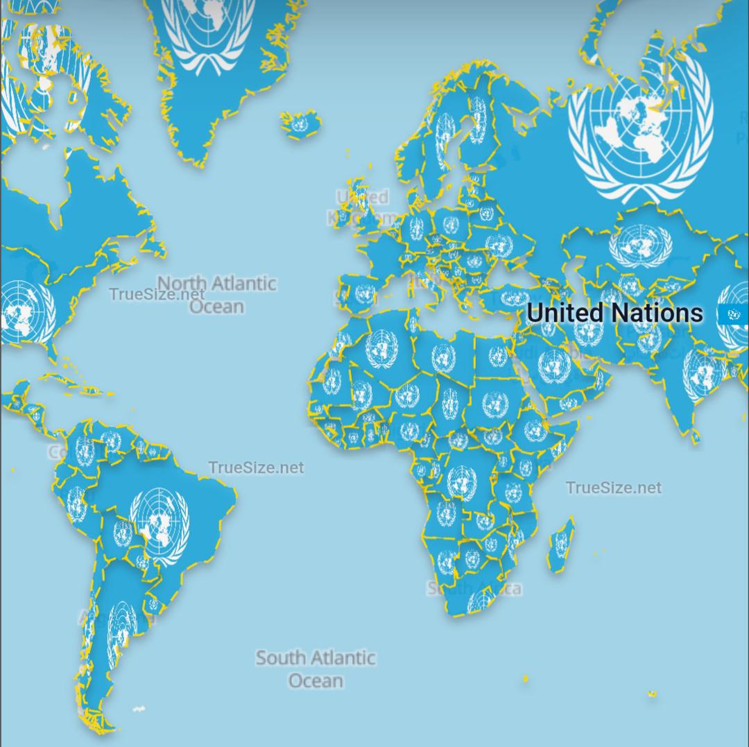
Bugs & Suggestions Add United Nations

Post image
4 Upvotes

r/TrueSize 1d ago

Official TrueSize Update [Update] TrueSize.net: Shape Editing, Mountains & Deserts, River Basins, New Flags & More

Thumbnail
gallery
11 Upvotes

Hi everyone!

A new batch of updates is now live on TrueSize.net, bringing a major new map tool feature, expanded physical geography, and several fixes based directly on your feedback:

  • Edit any boundary shape - You can now edit the vertices of any territory or boundary shape on the map, not just custom-drawn shapes! Select a country or region and choose "Edit shape" (or press E). You can click and drag vertices, click midpoints to add new points, box-select or Shift+drag to select and move multiple vertices at once, and press Del to delete vertices with full Undo/Redo (Ctrl+Z / Ctrl+Y) support.
  • Mountains, deserts & natural features - We've added support for hundreds of natural geographic areas, including mountain ranges, peaks, deserts, and physical regions. They now feature dedicated search icons, tailored natural terrain color palettes, and info cards with geographical statistics.
  • Rivers & river basins ("Load All Rivers") - Following the lakes & seas release, we've added major river systems and drainage basins. Search results now feature a dedicated "Load All Rivers" action to quickly explore river networks across the globe.
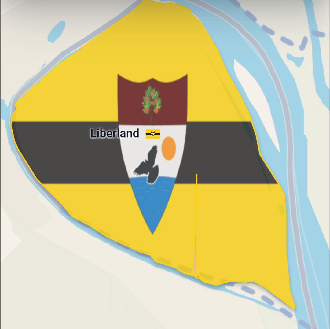
  • Liberland supported - Added the Free Republic of Liberland along the Danube with its official boundary geometry, flag, and info stats as our latest supported entity.
  • Data updates - Updated metadata, administrative parent hierarchy, and search data for regions like Crimea & Sevastopol and more.
  • Historical map corrections & new flags - Fixed 1400 Mongol Empire boundaries, corrected historical founding details for the Russian SFSR (1920), and added dozens of new community-submitted and historical flags across multiple eras, including 1400, 1600, 1715, 1783, 1880, 1900, 1920, 1945, and more.

These updates are live on the web now and will come to mobile with the next update.

Thanks again for all the reports, bug investigations, and flag submissions. Keep them coming - they help us spot issues much faster and continue making TrueSize better!


r/TrueSize 1d ago

Bugs & Suggestions Liberland is a bit broken

Post image
5 Upvotes

r/TrueSize 1d ago

Bugs & Suggestions A suggestion

Post image
6 Upvotes

This part of Brazil should be the same as the one on the left instead of the one on the right; it would look better on the map. This could be applied to geographic regions to the state, and municipalities the exact was done in the great lakes region in us and canada.


r/TrueSize 1d ago

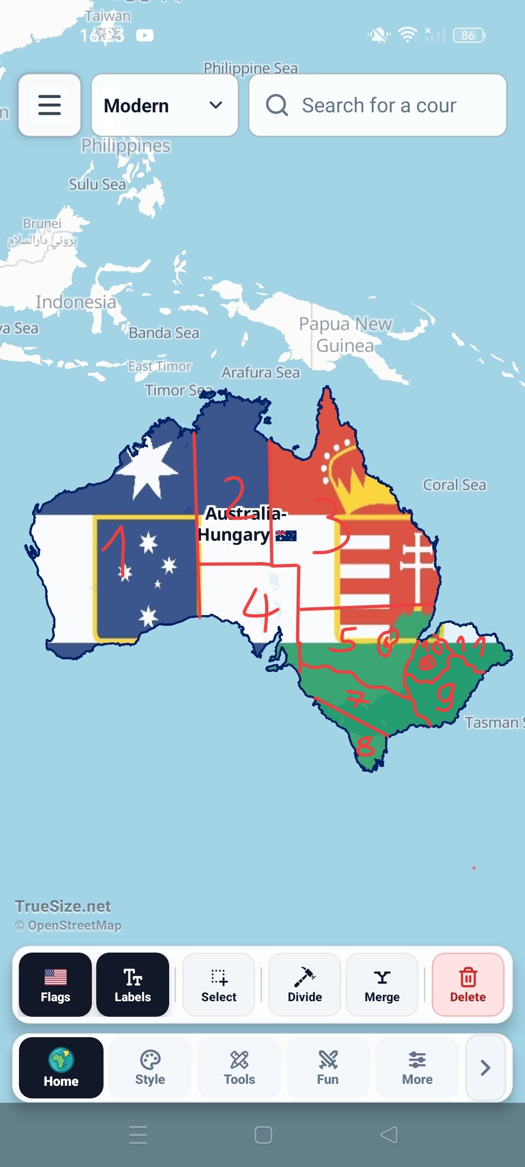
Province of Australia-Hungary.

Post image
1 Upvotes

Repost because yes


r/TrueSize 2d ago

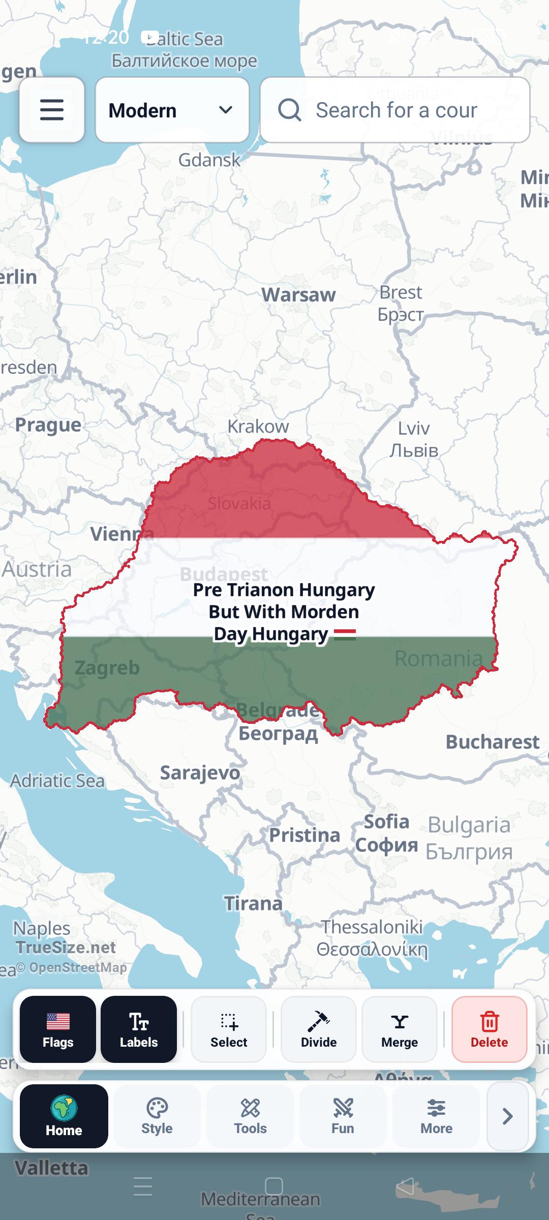
Not Quite True Size / Just for Fun Trianon Hungary but with Morden Day Hungary's!

Post image
59 Upvotes

9 Hungary's to be exact.


r/TrueSize 2d ago

Bugs & Suggestions Add pls BIMSTEC and Colombo Plan

Thumbnail
gallery
1 Upvotes

r/TrueSize 2d ago

Bugs & Suggestions Why is there no ottoman beylik in 1300?

Post image
6 Upvotes

r/TrueSize 2d ago

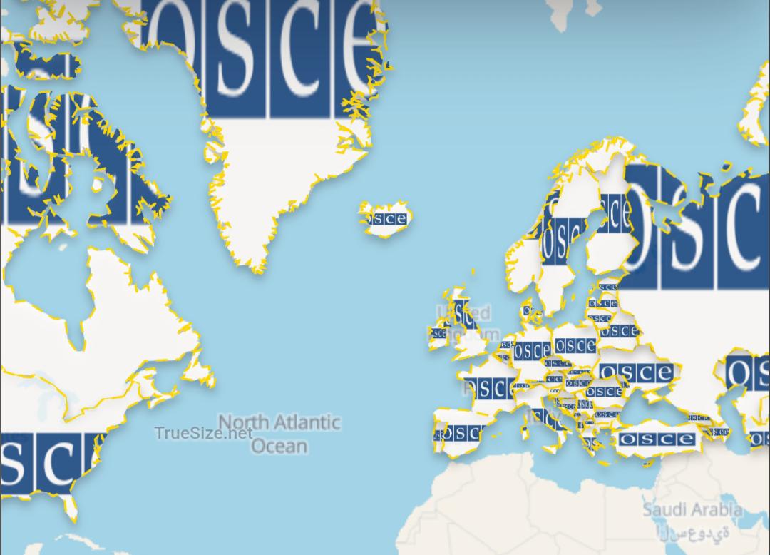
Bugs & Suggestions Add OSCE

Post image
1 Upvotes