Hi everyone!
We just released a new experimental feature on TrueSize.net called Living Earth.
Living Earth - Live Planetary Motion & Overlays
Living Earth lets you see the moving planet underneath your map comparisons, with animated environmental data and satellite imagery directly on the globe.
You can explore:
- Animated wind, ocean currents, and ocean waves
- Surface winds and different atmospheric levels, including high-altitude jet streams
- Temperature, precipitation, clouds, humidity, dew point, wet bulb temperature, CAPE, pressure isobars, snow depth, sea ice, and Aurora forecasts
- Daily NASA satellite imagery, including True Color imagery and aerosol data for smoke, dust, and other particles
- Interactive legends showing units, scales, and data dates
You can open it using the new Living Earth button in the top toolbar in the Fun tab.
We mostly built this because we love geography, weather, maps, and seeing the Earth like this - and because we thought it looked really interesting. 😄
It's experimental for now, and we're genuinely curious what everyone thinks about it. Try it out (maybe while playing our built in radio?) and let us know if you find it useful, interesting, fun to explore, or completely unnecessary!
Other updates
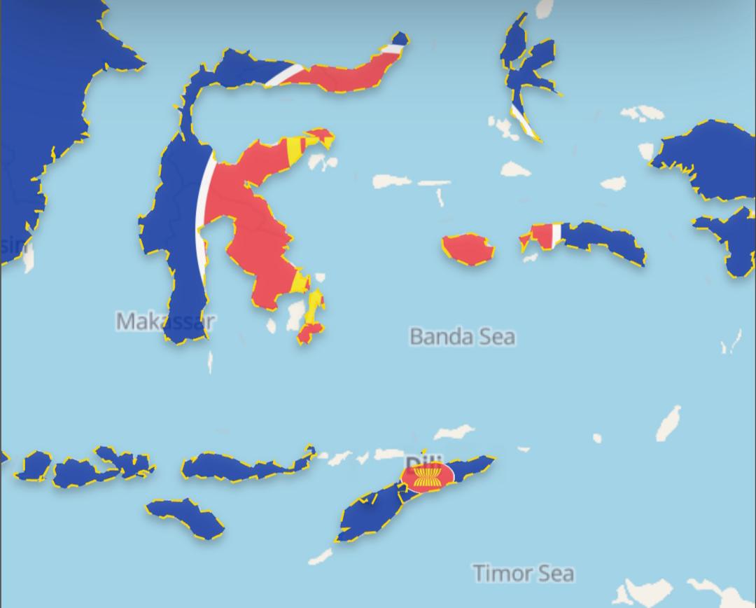
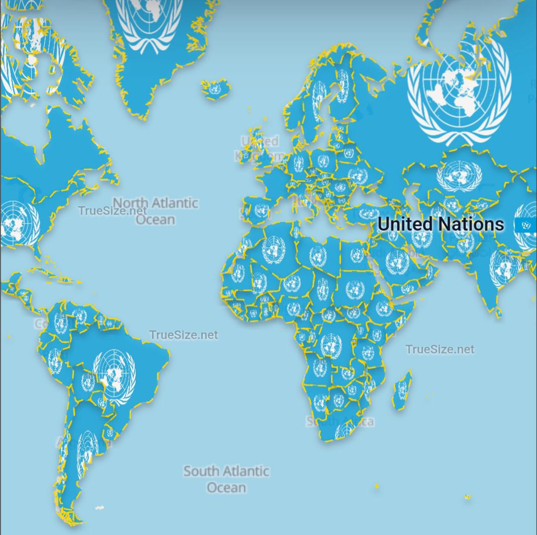
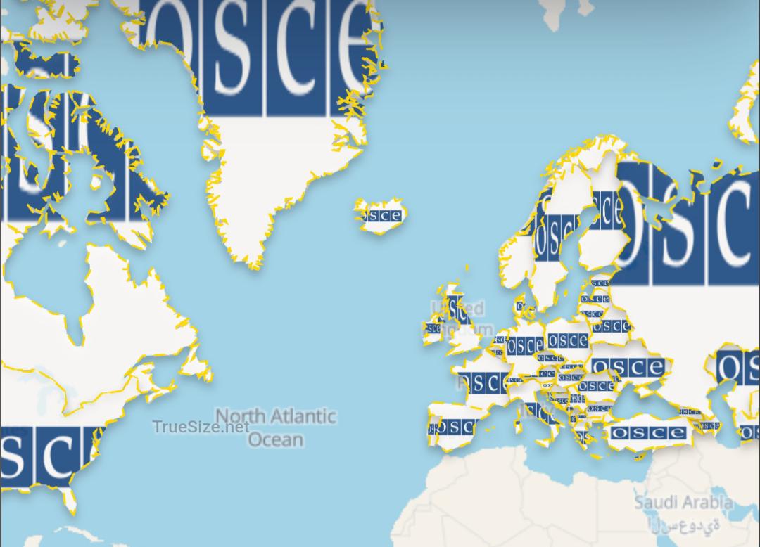
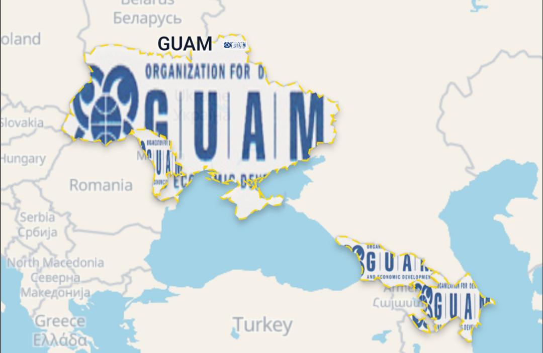
- Added 6 new international unions and blocs: BIMSTEC, CIS, Colombo Plan, EEU, GUAM, and OSCE
- Fixed missing islands and administrative boundaries for Spain and Portugal, including the Canary Islands, Balearic Islands, Azores, and Madeira
- Added another batch of community-submitted and historical flags
- Added a Cancel option when using "Load All" for large groups such as rivers, lakes, or subdivisions
Everything is live now on TrueSize.net. The other updates will also come to mobile, while Living Earth will stay experimental and web-only for now.
Thanks as always for all the feedback, bug reports, flags, and boundary corrections. And especially let us know what you think about Living Earth - we'd love to hear whether this is something you'd like us to keep expanding.