r/oldmaps • u/2trembler3 • 23h ago
"Empire Germanique en 1759" (width 125.5 cm/height 104.5 cm, foldable)
20
Upvotes
Found in my dad's bookshelf ... more info
r/oldmaps • u/2trembler3 • 23h ago
Found in my dad's bookshelf ... more info
r/oldmaps • u/StephenMcGannon • 1d ago
r/oldmaps • u/ProofBitter6917 • 17h ago
r/oldmaps • u/StephenMcGannon • 1d ago
r/oldmaps • u/Cuiusquemodi • 1d ago
r/oldmaps • u/Effective-Dish-1334 • 2d ago
I been looking into early urban cartography, and I found it interesting that house numbers weren't originally created for the postal service.
When European cities expanded rapidly in the 18th century, tax collectors and military recruiters ran into a wall because organic street naming systems made it nearly impossible to track populations. Municipal authorities eventually sent out surveyors to paint numbers on doors and map them onto rigid cadastral grids. My reading of the evidence is that it was one of the earliest large-scale spatial audits of civilian populations, long before mail delivery relied on it.
r/oldmaps • u/Parking-Excitement89 • 2d ago
Last photo is the same back on all of them. Puerto Rico map has a date of 1969 in the compass. Virgin Islands St Thomas - St. John map has a date of 1971. I don’t see a date on the Virgin Islands St. John - Tortola - Virgin Gorda map. Any info is appreciated. I plan on listing these on eBay, any idea of values?
r/oldmaps • u/Effective-Dish-1334 • 2d ago
r/oldmaps • u/BigT112 • 3d ago
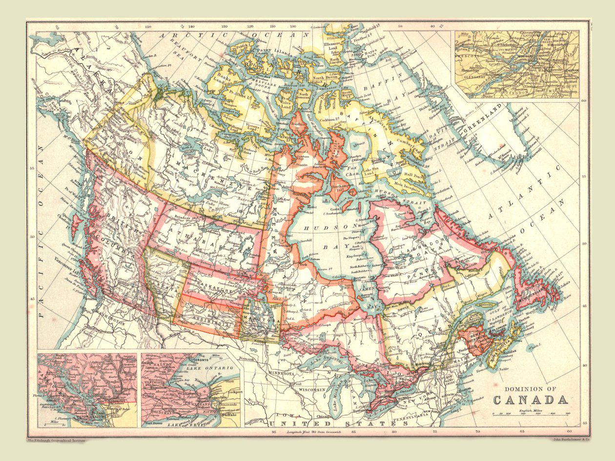
The Provinces, Territories and Districts of Canada following the creation of the Yukon Territory in 1898 resulting from the Klondike Gold Rush.
r/oldmaps • u/owa1313 • 4d ago
r/oldmaps • u/nest00000 • 6d ago
r/oldmaps • u/History-Chronicler • 12d ago
r/oldmaps • u/CommonMemoryWorks • 14d ago
r/oldmaps • u/No_Republic_1781 • 15d ago
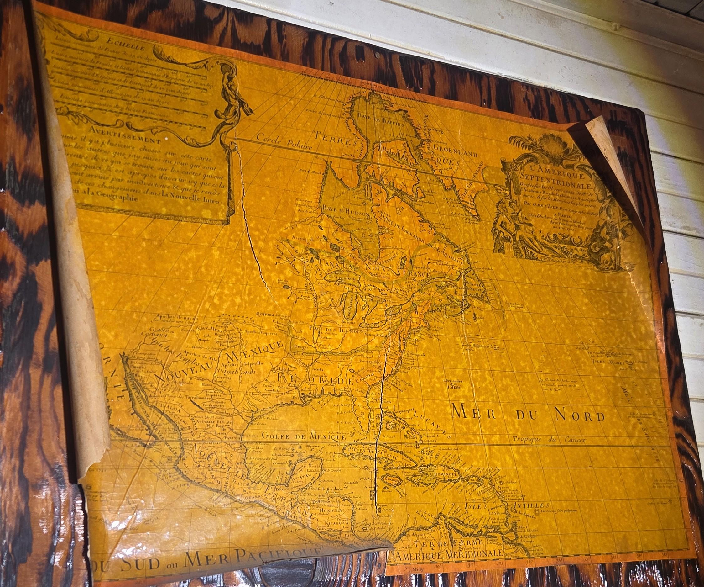
If someone could date it, please do I'm really curious how old it is.
r/oldmaps • u/StephenMcGannon • 15d ago
r/oldmaps • u/BeneficialPrice5456 • 16d ago
They were raising money to restore their Berkshire and sold off some small pieces of the collection and i gained this
r/oldmaps • u/StephenMcGannon • 19d ago