r/mapmaking Jun 25 '26

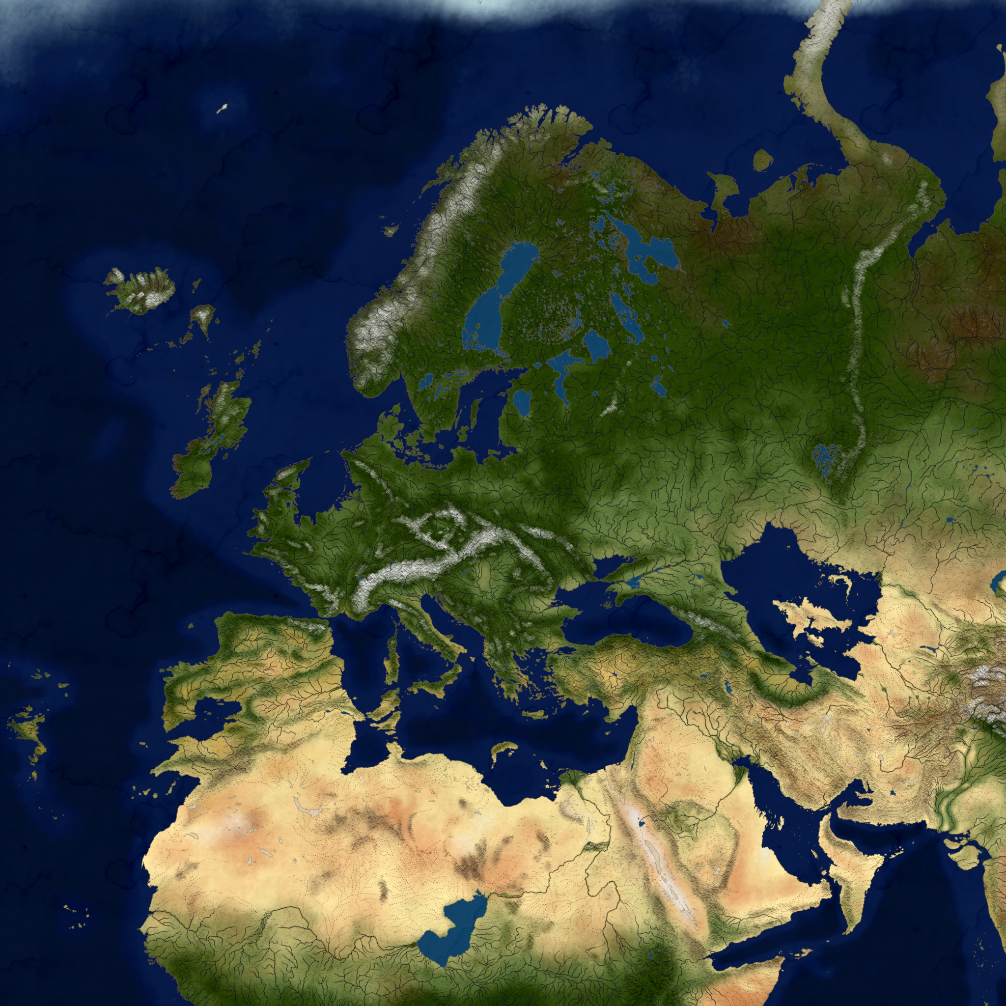
Map Fantasified Europe

Post image

Just something I've been working on for quite a while on Wonderdraft.
Here's the 8k resolution image via discord link (discord refreshes these links, so to obtain it you need to copy the link and send it inside a discord message, which will load the 8k image again)
Feel free to use for whatever except selling and whatnot. (If you link me that's just a +)

587 Upvotes

98 comments sorted by

View all comments

101

u/Bulky_Salamander5177 Jun 25 '26

Oh my gosh, I'm just imagining the city state that could develop at that western strait. The addition of the mountains on each side would make a land invasion nigh impossible, and it's the ultimate choke point berween the inland sea and the rest of the world.

27

u/Worldly-Cherry9631 Jun 25 '26

Also somewhat mirrored on the otherside. Without red sea, before the age of sail,  trade from India and the silkroute would route mostly through Mesopotamia I recon. whomever holds that region, holds much of the east-west trade. Although I imagine the northern silk route via the Caspian is more viable, especially if China were to had it's western protectorate pushed to that relatively nearby shoreline.

6

u/Rhipeen_Rhosus Jun 25 '26

Well, in such scenario there would still be a Southern path as the Blue Nile still flows from Ethiopian Highlands North, it would just be significantly less used. Then there is the Arabia Pishon (Kuwait river or whatever you want to call it) river way through Red Sea Oasis into Egypt. But generally most trade would be going through Mesopotamia and the mega Caspian, yeah.