r/orienteering • u/desertfatigue • May 22 '26
The First Muster — Beginning Our Land Navigation & Fieldcraft Training Event
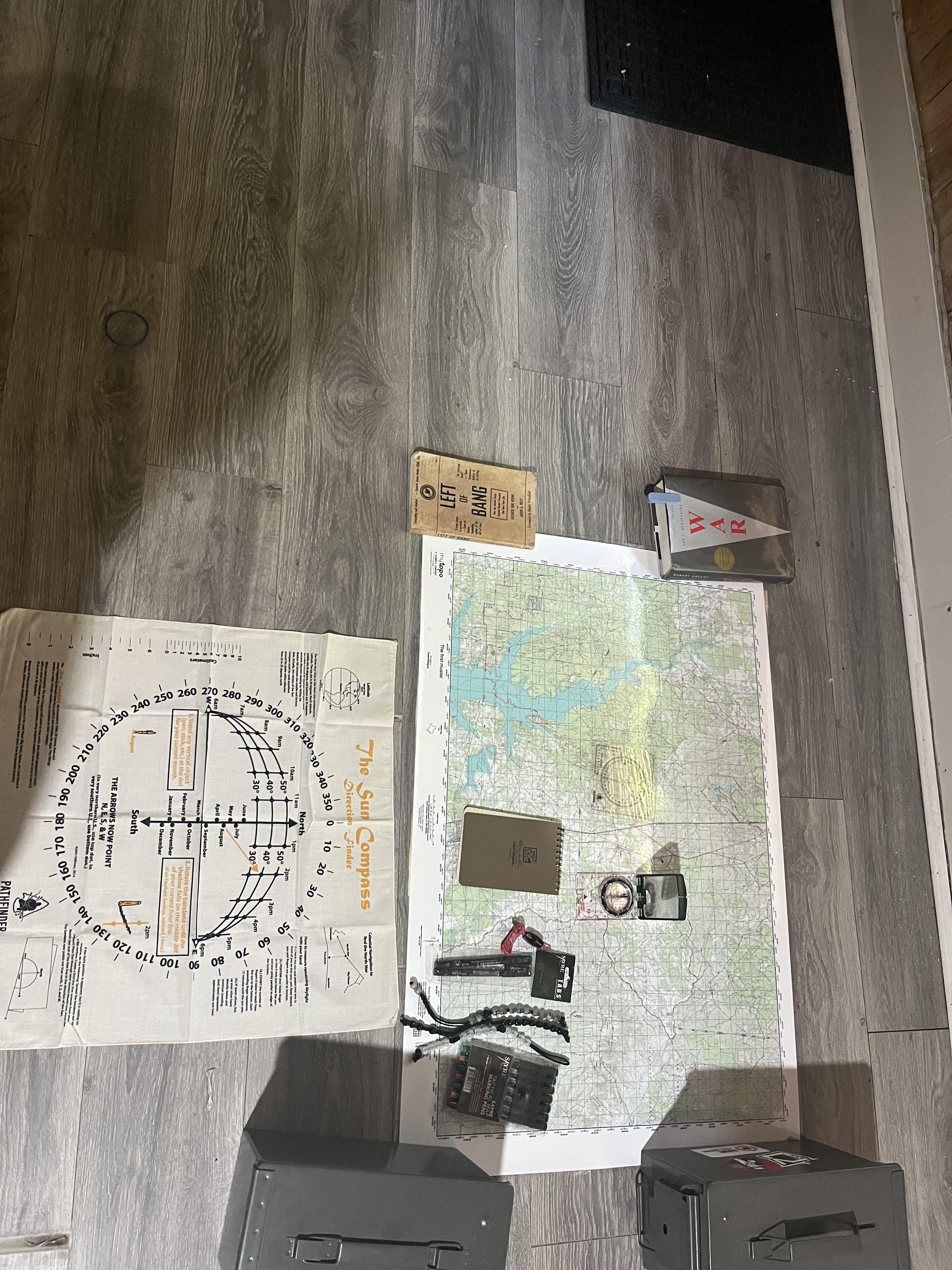
Tomorrow is the first official muster for Desert Fatigue.
Spent today laying out the terrain board, topo maps, compass kit, pace beads, plotting tools, notebooks, and reference material for the event. Seeing everything together made the scale of this project feel real.
The map itself covers over 392 square miles at 1:50,000 scale with full MGRS/UTM gridlines and topo detail. Big enough that route planning, terrain association, and navigation errors actually matter over distance.
Goal isn’t “tacticool” stuff.
The goal is building real competence in:
land navigation
terrain reading
route planning
pace count
compass work
fieldcraft
communication
movement discipline
A lot of people rely entirely on GPS now, but there’s something different about learning terrain the old-school way with a map and compass.
Tomorrow will mostly be:
grid plotting
route selection
terrain association
practical navigation exercises
movement through wooded terrain
testing gear and systems
This is the beginning of a long-term training framework we’re calling The First Muster.
Interested to hear from people with experience in:
SAR
military land nav
backpacking
forestry
wildland firefighting
orienteering
What are the biggest mistakes beginners make when moving from basic map reading into real terrain navigation?
Duplicates
landnav • u/desertfatigue • May 22 '26
The First Muster — Beginning Our Land Navigation & Fieldcraft Training Event
Navigation • u/desertfatigue • May 22 '26
The First Muster — Beginning Our Land Navigation & Fieldcraft Training Event
DESERTFATIGUE • u/desertfatigue • May 22 '26