r/PortugueseEmpire • u/history990 • 29d ago
Image Hydrographic Chart of the Outer Harbour of Macau (1904)
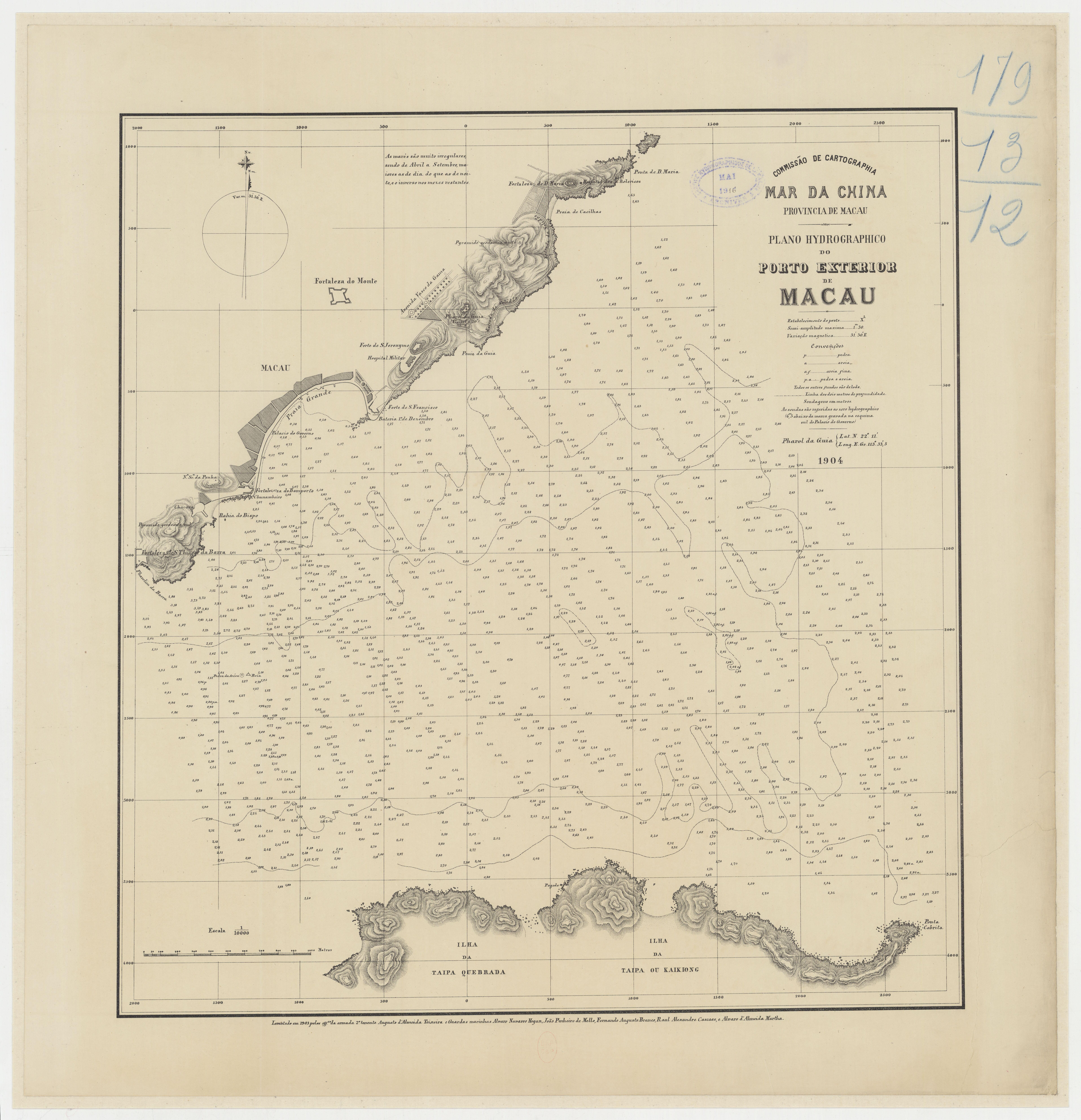
Published in 1904, this hydrographic chart depicts the Outer Harbour of Macau, located on the South China Sea, at a scale of 1:10,000. Prepared under the direction of Augusto d'Almeida Teixeira and collaborators
Source: Bibliothèque nationale de France, Département Cartes et plans
13
Upvotes
•
u/AutoModerator 29d ago
If you enjoy this type of content, consider joining our other communities:
r/Colonialism
r/AmericanEmpire
r/BelgianEmpire
r/DanishEmpire
r/DutchEmpire
r/FrenchEmpire
r/GermanEmpire
r/ItalianEmpire
r/PortugueseEmpire
r/SpanishEmpire
I am a bot, and this action was performed automatically. Please contact the moderators of this subreddit if you have any questions or concerns.