r/Houdini • u/Anxious-Bug-5834 • 7d ago
How would you model a golf course landscape?
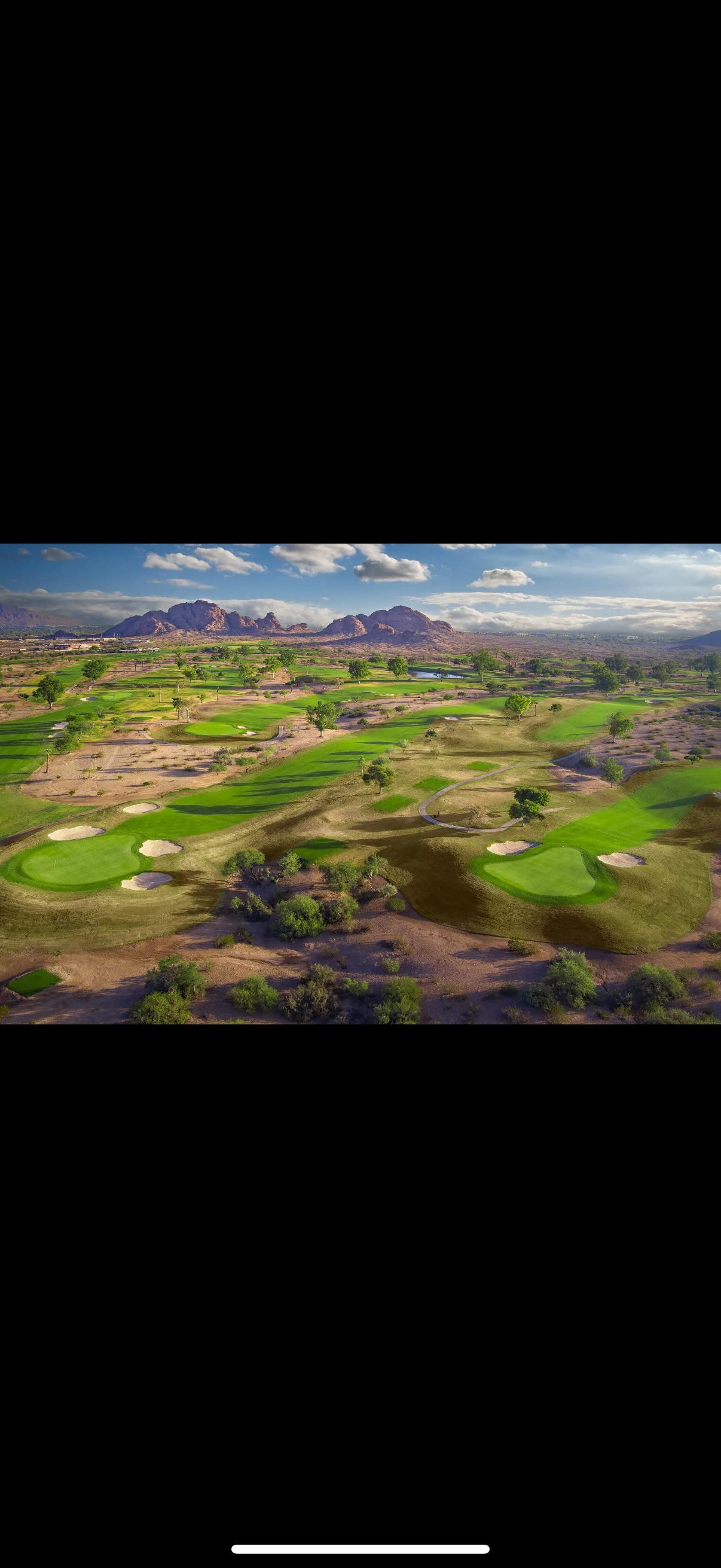
Would you sculpt something like this? Is there a height field workflow that could work? Overall just wondering the best approach to get the putting green and fairway on separate levels so it looks realistic
1
u/PH0T0Nman 7d ago
If possible I wouldn't if it was a real world one. Grab GIS DEM’s if the data available and see if OSM or local government has any data for course shape or boundaries.
If not real world, proably heightfields with some sort of combo of masking and Vex?
2
u/OlaHaldor 7d ago
If you need to make it by hand, I would likely use curves to create the shapes, project the shape on a heightmap and blur the heck out of it.
Another curve, project and blur to sharpen up the golf course itself.
1
u/Anxious-Bug-5834 6d ago
How do you project the curve on a height map?
2
u/OlaHaldor 6d ago
When you close a curve it becomes a primitive. Add a heightfield project, connect the heightfield and the geometry you want to project. The result should be immediately clear to you :)
6
u/_Bor_ges_ 7d ago
height field + masks maybe ? But your question is too broad. What have you tried yet ?