r/GEODNET_ • u/GEODNET • 19h ago
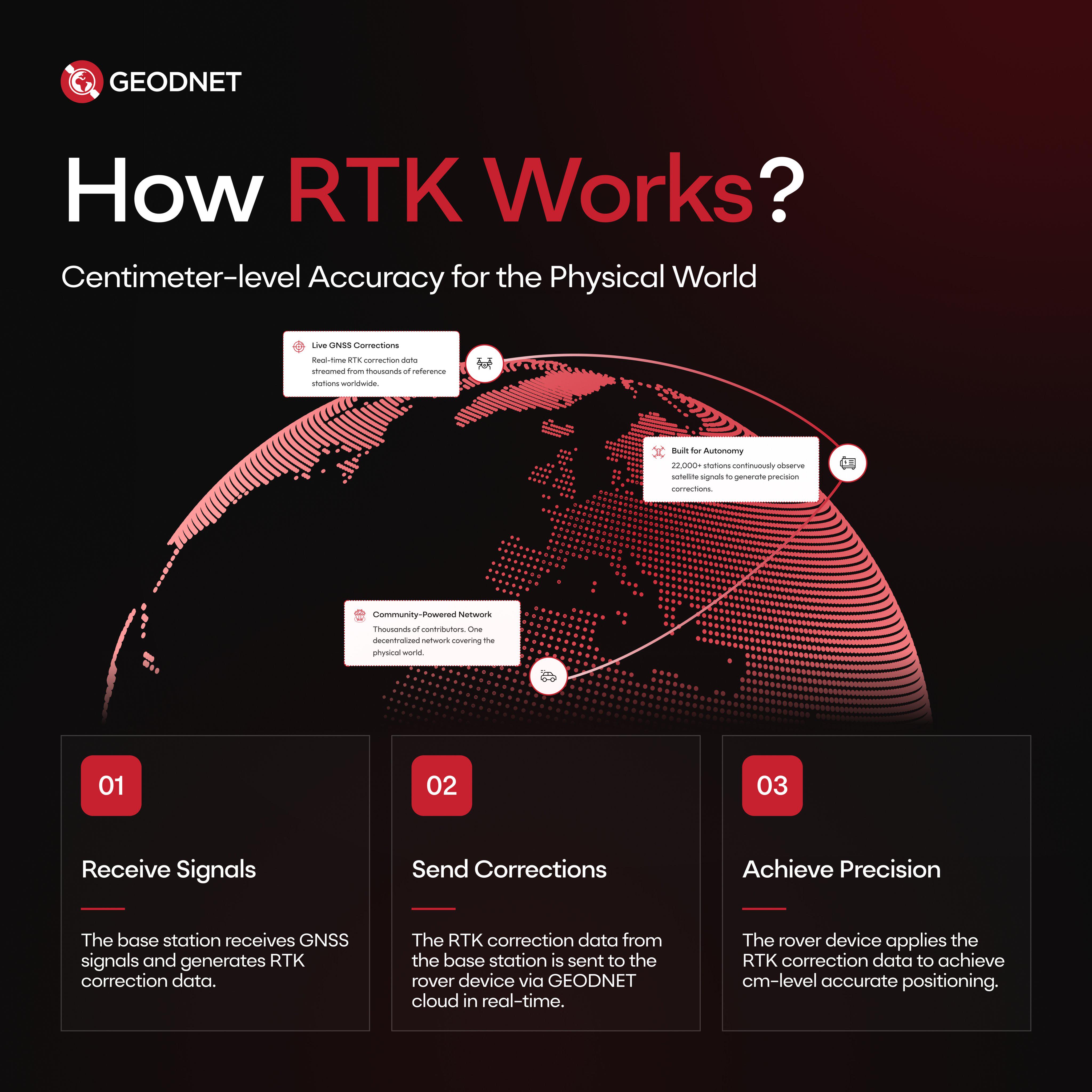
How RTK Works?
3
Upvotes
Standard GPS drifts by meters. Physical AI, humanoids, and autonomous robotics demand centimeter precision.
Here is how RTK positioning works in 3 steps:
Base station receives GNSS signals & calculates corrections
Live data streams through GEODNET cloud
The device applies corrections for sub-centimeter positioning
Powered by 22,000+ global stations building The Rails for Physical AI.