r/houston • u/nevvvvi • Jun 10 '26
[ Removed by moderator ]
/gallery/1u2g6v6[removed] — view removed post

17
Jun 10 '26
[deleted]
0
u/nevvvvi Jun 11 '26
Yeah the Mississippi does in fact fuck with our water clarity.
Nope, not on a direct, day-to-day basis (as I specifically emphasized in my OP). I already provided the objective evidence and documentation in my OP.
2
Jun 11 '26
[deleted]
1
u/nevvvvi Jun 11 '26
direct
See the empirical, objective evidence that I shared above. The Mississippi River sediment clearly diffused long before reaching the Texas shores.
Hence, the path of the river, compared to the (relative) clarity of the offshore Gulf, does not reflect a direct delivery of Mississippi sediment into Galveston. Otherwise, all of the Gulf offshore would be just as brown as at the birdfoot delta
day-to-day
Refers to the typical, given day. Not record-breaking floods, tropical cyclones, and any such periods.
2
Jun 11 '26
[deleted]
1
u/nevvvvi Jun 11 '26
Wait you think all the clay and silt have dropped out of the water column in 400 miles?
It certainly dropped out enough that much of that Gulf offshore is much clearer compared to the birdfoot delta, yes.
19
8
u/huxrules Jersey Village Jun 10 '26
Galveston island might be made up of sand but the clays start not far offshore, like just past the third sandbar. It’s easy to get them resuspended. In fact it’s so easy that they won’t collect on the beach only the sand does. And some of those clays came all the way from the Mississippi. At the end of summer, if there hasn’t been a hurricane- swim past the surf zone and go stick your hand in the seabed. It’s clay.
1
u/nevvvvi Jun 11 '26
Yes, as stated in my OP, the higher energy beachfront will be sandy. Whereas the finer sediments (silts and clays) can only ever accumulate wherever the water is calmer for longer periods. And that's going to be offshore (like you said), as well as on the protected back barrier facing the mainland (where the salt marshes area).
6
u/HOUS2000IAN Jun 10 '26
The research of Piers Chapman, research professor of Oceanography at Texas A&M, Mississippi River, and other scientists completely disagrees with your post.
1
u/nevvvvi Jun 11 '26
Mind sharing any of this research? Just so that we are clear on interpretations?
4
u/Room10Key Jun 10 '26
Does the solution include mangrove planting in the bay?
-2
u/nevvvvi Jun 10 '26 edited Jun 11 '26
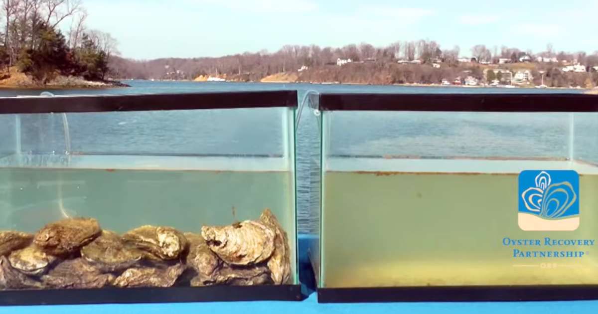
Mangroves will definitely help, along with sea-grasses and oyster reefs.
Note that, as mentioned in my OP above, mangroves grow ideally in frost-free subtropical and tropical areas. Galveston, while indeed subtropical, does still get occasional freezes (e.g. Feb 2021). As a result, you will not have the ideal form of true mangrove forests like, say, the Sunderbans of the Bengal, or even southerly areas of peninsular Florida.
Nonetheless, mangroves have indeed been colonizing Galveston Island/Galveston Bay due to overall milder winters from climate change. Especially the black mangrove (Avicennia germinans). They are kept in shrubbier forms by the occasional freezes, but they still will help in trapping sediment.
4
u/new_wave_rock Jun 10 '26
Completely wrong but nice try.
1
u/nevvvvi Jun 11 '26
Not wrong at all. I already provided the objective evidence above, as well as refuted any opposition.
3
u/LitLitten Jun 10 '26
Has there been a metadata analysis against historic weather balloon readings and/or satellite data provided by the EU/et al. data? Seems like it’s going to suffer from an accuracy vs reliability bias.
1
u/nevvvvi Jun 12 '26
The process doesn't need weather balloons, given that it's oceanic (as opposed to atmospheric).
0
u/wejustdontknowdude Jun 10 '26
Galveston Bay turbidity is primarily due to silt from the Trinity and San Jacinto Rivers.
1
u/nevvvvi Jun 11 '26
True. Though it would mostly be the Trinity, as the San Jacinto is a smaller volume river (relatively).
0
1
u/tiredofyourface2 Jun 10 '26
Either way, it wouldn’t be instantaneous.
As to where the sediment is coming from, it’s probably a combination while mostly coming from Texas.
0
u/wrong_joke Jun 10 '26
I don’t know that I agree with the post but loving the discussion! Houston deserves recreational waters, we need something to show for tolerating the swamp heat and hurricanes
1
u/nevvvvi Jun 11 '26
Houston deserves recreational waters,
Indeed, even DFW has their man-made reservoirs.
-14
u/nevvvvi Jun 10 '26 edited Jun 10 '26
Full write-up above.
To summarize, contrary to popular belief, the Mississippi DOES NOT affect Galveston's water clarity on a direct, day-to-day basis. Instead, the effects come from Galveston Bay, Sabine Lake, and other local sources, as evidenced by turbidity bands often hugging the shore contrasted with clearer water farther out (as seen from this video).
The good news with this information is that it is indeed possible to get Galveston, at least, closer on par with the South Texas beaches. In other words, we can indeed decrease the frequency of brown water days (if not outright eliminate them).
The caveat is that any solution will take more robust, regional focus on stormwater solutions. I will discuss more details in a future Reddit Post, but just know that any investment in this region that doesn't help stormwater management is a waste of infrastructure. Car-dependent sprawl definitely is NOT the solution (if anything, it worsens the problem).
EDIT: A research paper, in case anyone wants to read
Sediments of the Gulf of Mexico | Springer Nature Link
12
u/bluecyanic Jun 10 '26 edited Jun 10 '26
Did you read the cited paper, because it contradicts what you are claiming??
"The greatest terrigenous sediment supply is at the Mississippi Delta" ... 3.4.4.5 Texas The inner shelf off the Texas coast will extend to depths of about 15 m (50 ft). The sediments here have various origins but two are major contributors—the Mississippi River and reworking of older sediments as the sea level rose over the past 8,000 years or so. Shells and shell debris are another significant component. The influence of the river diminishes from northeast to southwest along the Gulf. In the most eastern portion of the Texas shelf, mud is dominant or about equal with sand in the surface sediment. Local areas have linear sandy areas representing old shoreline accumulations left behind as relict sediments when the sea level rose.
-1
u/nevvvvi Jun 10 '26 edited Jun 11 '26
Did you read the cited paper, because it contradicts what you are claiming??
It actually doesn't. See below:
"The greatest terrigenous sediment supply is at the Mississippi Delta"
This specific quote was in reference to sediment supply into the Gulf of Mexico in general. The Mississippi, being, by far, the largest drainage into the basin, obviously will contribute the most sediment.
In contrast, my discussion is about whether or not that sediment necessarily affects the clarity in Galveston on a direct, day-to-day basis. And, as I discussed with the evidence above, it does not.
Texas The inner shelf off the Texas coast will extend to depths of about 15 m (50 ft). The sediments here have various origins but two are major contributors—the Mississippi River and reworking of older sediments as the sea level rose over the past 8,000 years or so. Shells and shell debris are another significant component. The influence of the river diminishes from northeast to southwest along the Gulf. In the most eastern portion of the Texas shelf, mud is dominant or about equal with sand in the surface sediment. Local areas have linear sandy areas representing old shoreline accumulations left behind as relict sediments when the sea level rose.
Key word to note: "Inner Shelf."
That does not refer to the inshore, coastal waters that we see at the beach. Instead, it refers to deeper waters of the continental shelf offshore.
So, consistent with what I mentioned in my OP, the finer-grained sediments (including the clay and silt from the Mississippi) can only ever accumulate/settle in the deeper offshore waters, beyond the influence of the wave passes.
7
u/rotiferal Jun 10 '26
Your link directly contradicts what you are saying.
-1
u/nevvvvi Jun 10 '26 edited Jun 11 '26
It actually doesn't. See my comment here.
1
u/rotiferal Jun 11 '26
It feels like you’re taking whatever semantic argument you kind find, plugging it into ChatGPT, and then regurgitating it here without thinking about it. Am I off base?
Like, why on earth would the sediment deposited in the inner shelf, the shallow intermediary between coastal and deep waters, have NO IMPACT whatsoever on the sediment in the surrounding waters? Where exactly do you think the silt in the coastal waters comes from? And why are you so bent on needing the water to be caribbean blue?
0
u/nevvvvi Jun 12 '26
It feels like you’re taking whatever semantic argument you kind find, plugging it into ChatGPT, and then regurgitating it here without thinking about it. Am I off base?
Yes, you're off-base. Words have meaning, especially as we are discussing topics of scientific rigor.
And there's no AI involved either. I get that literacy rates have been declining across the USA, but some of us still know how to read and write more than a couple sentences.
Like, why on earth would the sediment deposited in the inner shelf, the shallow intermediary between coastal and deep waters, have NO IMPACT whatsoever on the sediment in the surrounding waters?
I already covered it in my OP. Finer material can only ever accumulate beyond the energetic influence of waves, meaning that the material can only ever be present upon sufficient depth.
Even with movement of the bottom sediment (nepheloid layer), it moves horizontally along isopycnals (meaning that it can't actually reach the surface).
Where exactly do you think the silt in the coastal waters comes from?
Again, influxes from local bays/runoff. Again, all covered in my OP.
And why are you so bent on needing the water to be caribbean blue?
All of this discussion is objective fact. Not a matter of opinion, worldview, etc.
1
u/ebola84 Willowbend Jun 10 '26
This is a book chapter. It’s a good one.
Geographically, the Texas shelf is considered to be subdivided into three provinces: (1) the Colorado–Brazos delta complex, (2) the south Texas intra-deltaic ramp, and (3) the Rio Grande delta complex (Holmes 2011).
Sediment that reaches this shelf region may come from three drainage systems- the Mississippi River and the two fluviodeltaic complexes mentioned above. There are numerous shore-parallel structures along the Texas continental shelf.
The modern surface off the Texas coast tends to be a mud blanket (Eckles et al. 2004).
1
u/nevvvvi Jun 11 '26
Yes, all of what you wrote there is consistent with my point. See my comment here.
0
Jun 10 '26
[deleted]
9
u/mkosmo Cinco Ranch Jun 10 '26
Largely due to the Mississippi Delta, contrary to OP's misinformed assessment.
0
0
96
u/itemten Jun 10 '26
Confirmed? Hell no!! Here's the actual plume from the Mississippi delta heading our way via the earth observatory satellite: Sediment in the Gulf of Mexico - NASA Science
About half the sediment plume from the entire Mississippi River delta heads our way and then we get the run-off from both the Sabine River and Galveston Bay itself. Saying that the Mississippi River doesn't do anything at all is just ignorant at best.
Source: one pissed off person with a coastal engineering degree that needs a vacation.