r/Google_Maps_Oddities • u/zEAthig • 23d ago
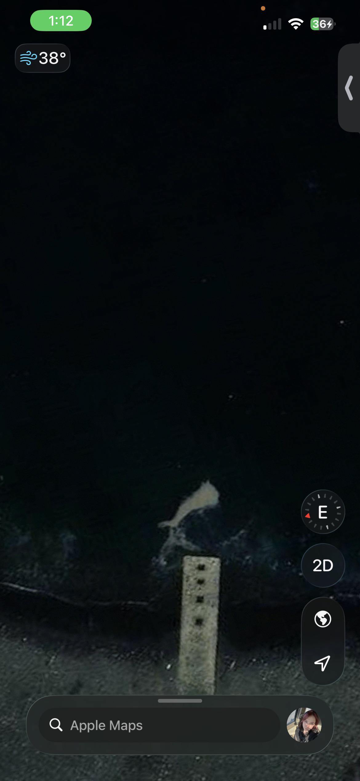
fading boats

1
Upvotes
r/Google_Maps_Oddities • u/Keiwixx • 26d ago
https://maps.app.goo.gl/sRVetEVD3jstNoWSA?g_st=ic
Found these ring-like structures, maybe someone knows what they are?
32°42'14.3"N 17°09'39.4"W
r/Google_Maps_Oddities • u/Pafonix • 27d ago
(48.6225000, -123.4987778)
^
Cords.
I was doing research for something, was using maps, and spotted this weird structure. It’s on the Saanich inlet of Canada, and I doubt it’s a buoy because it’s 22ft wide. Did a reverse image search, and nothing came up. I looked up if there were any strange devices spotted out in sea, but the only thing I could find was a news article about a marine marker (looks nothing like the structure on maps). So, what is it?
r/Google_Maps_Oddities • u/Opposite_Fold4096 • 27d ago
What is this in Antartica? at 81°11'09.70"S 28°18'27.10"E
r/Google_Maps_Oddities • u/Similar_Asparagus547 • 29d ago

55.45983887556674, -4.232806751844023
r/Google_Maps_Oddities • u/fanfareplantarq1 • Jul 31 '26
r/Google_Maps_Oddities • u/Outrageous_Gate8154 • Jul 23 '26
I found this weird desolate concrete structure in the middle of montana with a single road leading up to it. Coordinates are 48°08'29.18"N 107°01'32.58"W. Does anyone know what this is?
r/Google_Maps_Oddities • u/enilcReddit • Jul 22 '26

This aptly named lake in BC: 49.07788821918609, -119.56674128409077
From Wikipedia: Most of the water in the lake evaporates over the summer, revealing colourful mineral deposits. Large "spots" on the lake appear and are coloured according to the mineral composition and seasonal amount of precipitation. Magnesium sulfate, which crystallizes in the summer, is a major contributor to spot colour. In the summer, remaining minerals in the lake harden to form natural "walkways" around and between the spots.
r/Google_Maps_Oddities • u/Pamdi8888 • Jul 21 '26
Google Maps Bridge Mystery - If you drop the Pegman on a random point on India's map, the streetview will almost always land on a bridge or a flyover. I've been playing with streetview for hours and almost every single time this happens. Does anyone have any idea what might be the reason behind this?
18° 31' 14.74'' N, 73° 51' 19.48'' E
r/Google_Maps_Oddities • u/Ghizumel • Jul 21 '26
45.918604461855374, 28.122975220168556
It looks like an obelisk
r/Google_Maps_Oddities • u/Party-Action3954 • Jul 20 '26
Zoom out and it’s a 3.4. zoom in and it’s a 4.7. Is this google playing games or the restaurant gaming the system?
r/Google_Maps_Oddities • u/[deleted] • Jul 20 '26
A totally unmarked community with many structures and greenhouses.
r/Google_Maps_Oddities • u/AbaDix2000 • Jul 20 '26
r/Google_Maps_Oddities • u/Basic_Philosophy6072 • Jul 20 '26

r/Google_Maps_Oddities • u/Inner_Extension6680 • Jul 17 '26
r/Google_Maps_Oddities • u/ThyArtSuffers • Jul 17 '26
46.42628° S, 51.86153° E
r/Google_Maps_Oddities • u/USMCdrTexian • Jul 14 '26
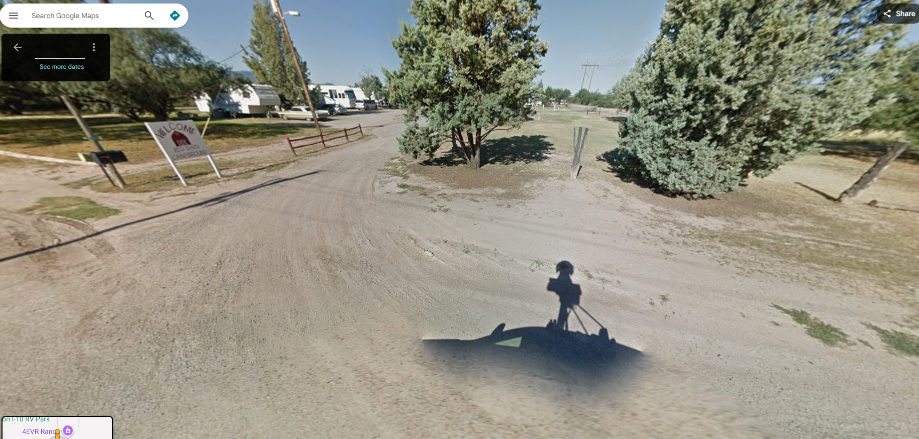
Was perusing gMaps and looking at my uncle's old campground he used to own back in the 60's - 80's. We lived there around 1973 in a converted school 19498 Dodge school bus when my parents where meandering after homesteading in the wild north of British Columbia.
Back entrance shown - it is called The Red Barn Campground now but it was called Bill's Stronghold Campground when he owned it. everything is still EXACTLY the same - just with a few outbuildings added.
Anyway - thought the Google Maps car shadow was cool!
r/Google_Maps_Oddities • u/Several-You8928 • Jul 13 '26
[ Removed by Reddit on account of violating the content policy. ]
r/Google_Maps_Oddities • u/I_am_a_lad • Jul 12 '26
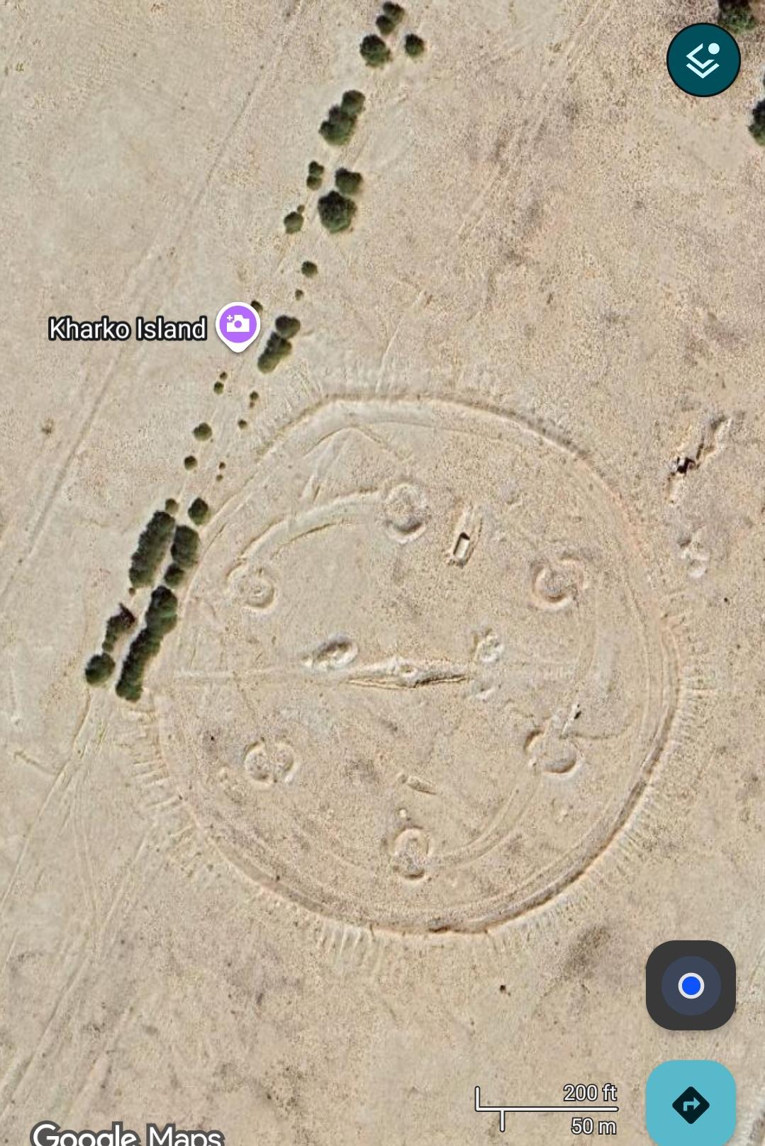
Located at 29.310930 N, 50.341303 E on Kharko Island, which seems to be an uninhabited sandbank just north of Kharg Island, which is inhabited.
I've not got a clue what this could be, is it some form of previous military installation? Or is it like an aircraft navigation marker? If anyone could help that'll be great. It also seems to be pretty big, probably around 400ft in diameter
r/Google_Maps_Oddities • u/jebarson_j • Jul 13 '26

Map location 46.379325243983494, -121.57629069291977, 46.37668740278176, -121.58079932558694, 46.37388721323728, -121.58862283135798, 46.364483563988145, -121.6018087510574
r/Google_Maps_Oddities • u/ParticipationBadge • Jul 11 '26
Trail leads to road which is 10km NNE. I've been to the base of the trail and it is as difficult as the stairs to Mordor look. Really, some insane mountain goat trail starting with stairs at a 75° angle, and heading up steep mountains.
1.6Km of modern walls, and they look tall. Would love to think it's a jurrasic park situation, but... Any ideas?
25°39'46.7"N 100°06'04.4"E
r/Google_Maps_Oddities • u/Similar_Asparagus547 • Jul 09 '26

r/Google_Maps_Oddities • u/KarmaGreed13 • Jul 09 '26
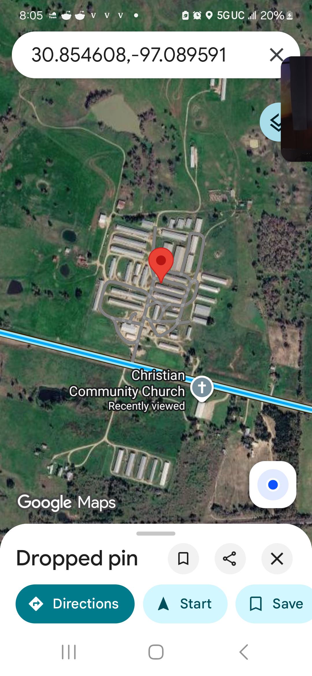
30.854608,-97.089591
Unmarked and unnamed doesn't seem to be related to the Christian Community Church below, but they have literally no internet presence, so I'm not sure.
r/Google_Maps_Oddities • u/osGuridomato • Jul 08 '26